UN/LOCODE hub · Indonesia
IDBPN
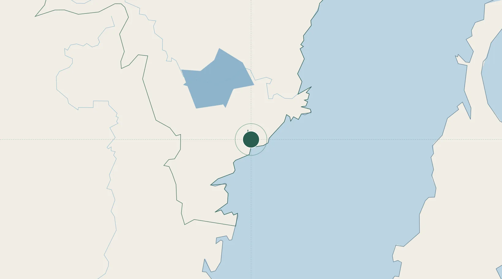
Balikpapan
-1.1560°, 116.7864°
695,287
Population
2
Transport functions
Transport Functions
Port
Airport
Hub Profile
Place type
Provincial seat
Region
East Kalimantan
Population
695,287
Time zone
Asia/Makassar
Elevation
67 m
Logistics facilities
2
Location
Nearby Logistics Neighbours
Cities
- 1Kariangau1 km
- 2Senipah47 km
- 3Samarinda, Kalimantan81 km
- 4Pulau Bunyu140 km
- 5Tanjung Merangas155 km
Ports
- 1Lawi Lawi Oil Terminal33 km
- 2Senipah Oil Terminal48 km
- 3Samarinda80 km
- 4Tanah Merah101 km
- 5Tanjung Santan144 km
Airports
Trade Zones
DatabookThe Record of Consolidated Knowledge
Indonesia beyond logistics?