Channel & Berth Profile
Pilotage, Tugs & Services
Pilotage compulsoryYES
Pilotage availableYES
Pilotage advisableYES
Tug assistanceYES
Potable waterNO
Diesel bunkersNO
MedicalYES
Facilities & Capabilities
Container—
Ro-Ro—
Liquid bulk—
Dry bulk—
Oil terminal—
Break bulk—
Dry dock—
Repairs—
BunkeringNO
Rail link—
Dangerous cargo—
ISPS security—
Harbour Specifications
Harbour size
Small
Harbour type
Open Roadstead
Shelter
Poor
Water body
Makassar Strait; South Pacific Ocean
Tidal range
2 m
Pilotage
Yes
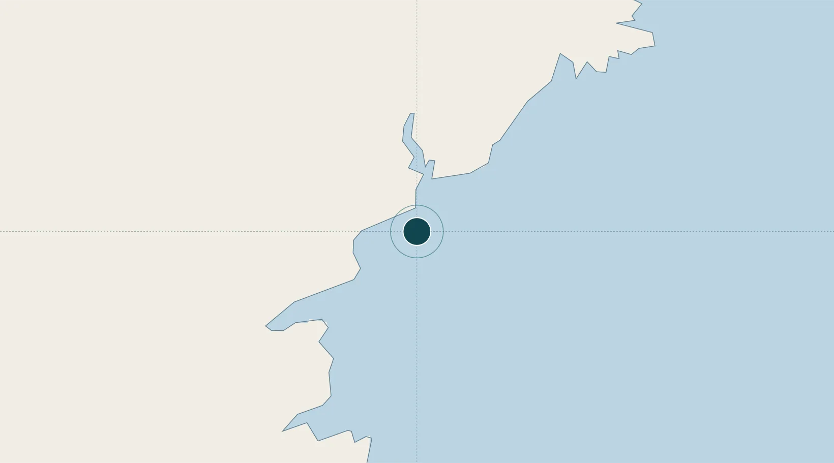
Location
Nearby Logistics Neighbours
Ports
- 1Balikpapan23 km
- 2Senipah Oil Terminal71 km
- 3Tanah Merah78 km
- 4Samarinda111 km
- 5Gunung Batu Besar140 km
Cities
- 1Kariangau32 km
- 2Balikpapan33 km
- 3Senipah70 km
- 4Samarinda, Kalimantan111 km
- 5Pulau Bunyu162 km
Airports
Trade Zones
DatabookThe Record of Consolidated Knowledge
Indonesia beyond logistics?