Seaport · Indonesia
BalikpapanIDBPN
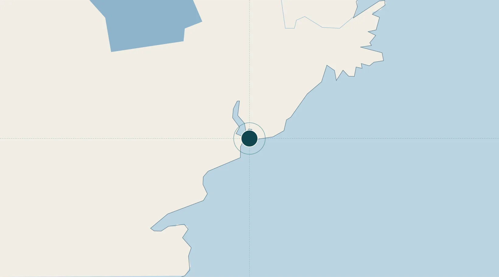
-1.2500°, 116.8167°
12.5 m
Channel depth
38.1
Port liner connectivity
Channel & Berth Profile
Pilotage, Tugs & Services
Pilotage compulsoryYES
Pilotage availableYES
Tug assistanceYES
Salvage tugsNO
Potable waterYES
Diesel bunkersYES
MedicalYES
Facilities & Capabilities
Container—
Ro-Ro—
Liquid bulk—
Dry bulk—
Oil terminal—
Break bulk—
Dry dockNO
RepairsNO
BunkeringYES
Rail link—
Dangerous cargo—
ISPS security—
Harbour Specifications
Harbour size
Small
Harbour type
Coastal (Natural)
Shelter
Excellent
Water body
Makassar Strait; South Pacific Ocean
Tidal range
9 m
Pilotage
Yes
Liner Connectivity
38.1
PLSCI
Port Liner Shipping Connectivity Index for Balikpapan, as published by UNCTAD for the latest available quarter. Higher values indicate stronger scheduled liner-shipping integration.
Shown relative to the highest per-port PLSCI in the dataset (1,657.9).
Location
Nearby Logistics Neighbours
Ports
- 1Lawi Lawi Oil Terminal23 km
- 2Senipah Oil Terminal51 km
- 3Samarinda88 km
- 4Tanah Merah96 km
- 5Tanjung Santan151 km
Cities
- 1Kariangau11 km
- 2Senipah50 km
- 3Samarinda, Kalimantan89 km
- 4Pulau Bunyu149 km
- 5Tanjung Merangas163 km
Airports
Trade Zones
DatabookThe Record of Consolidated Knowledge
Indonesia beyond logistics?