UN/LOCODE hub · Australia
AURAF

Raffles Bay

-11.2667°, 132.3833°
1
Transport functions

Transport Functions

Port
UN/LOCODE

Hub Profile

Region
NT
GeoNames

Location

Location of AURAF
Natural Earth 10m (public domain) · NT · AURAF · -11.27, 132.38GoogleOSMYandex

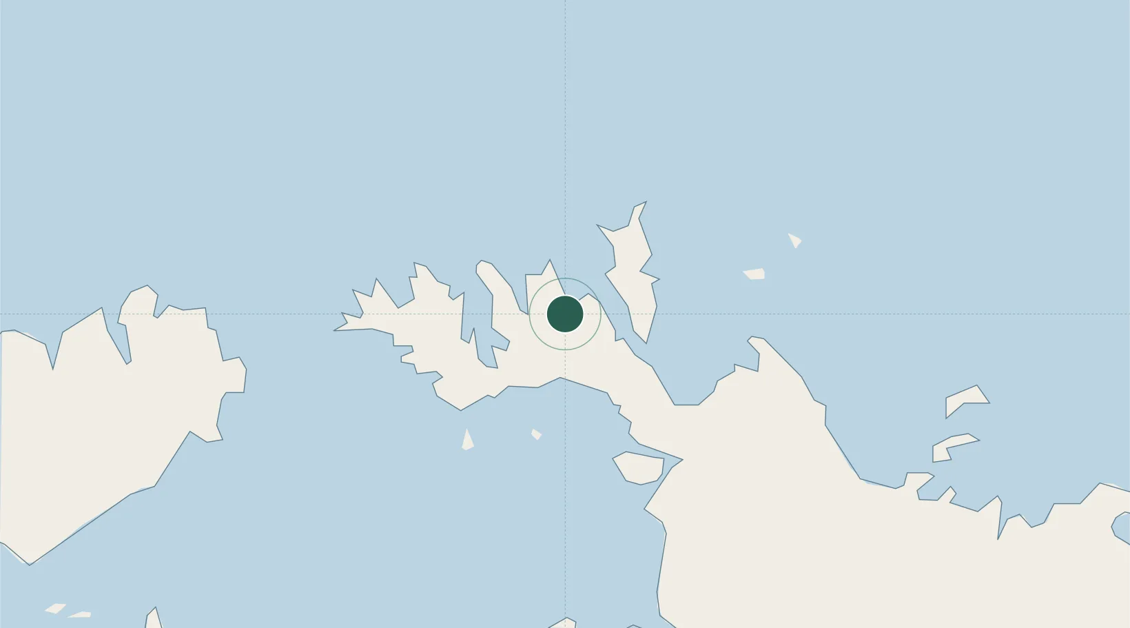
Nearby Logistics Neighbours

Cities
  1. 1Black Point29 km
  2. 2Cape Don69 km
  3. 3Melville Island161 km
  4. 4Winnellie209 km
  5. 5Darwin210 km
Nearest neighbours — logibook spatial index (haversine) over the source coordinates
Ports
  1. 1Darwin214 km
  2. 2Saumlaki384 km
  3. 3Gove481 km
  4. 4Milner Bay525 km
  5. 5Wyndham658 km
Nearest neighbours — logibook spatial index (haversine) over the source coordinates
Airports
  1. 1Snake Bay Airport190 km
  2. 2Bathurst Island Airport200 km
  3. 3Darwin International Airport / RAAF Darwin207 km
  4. 4Garden Point Airport214 km
  5. 5Maningrida Airport220 km
Nearest neighbours — logibook spatial index (haversine) over the source coordinates
Trade Zones
  1. 1Atauro Special Economic Zone816 km
  2. 2Oecusse Ambeno Enclave Special Zone For Social Market Economy (Zeesm)910 km
  3. 3Western Province Special Economic Zone976 km
  4. 4KEK Sorong1145 km
  5. 5Sandaun Special Economic Zone1242 km
Nearest neighbours — logibook spatial index (haversine) over the source coordinates
DatabookThe Record of Consolidated Knowledge
Australia beyond logistics?
Browse databook

All Sources

LocationsUN/LOCODE
UN/LOCODE — free
Portsthe NGA World Port Index
Public domain (US gov)
AirportsOurAirports
Public domain
Trade Zonesthe World Bank SEZ database
CC BY 4.0
Trade ZonesOpen Zone Map
CC BY
← Australia locations