Transport Functions
Port
Hub Profile
Place type
District seat
Region
Maluku
Time zone
Asia/Jayapura
Elevation
91 m
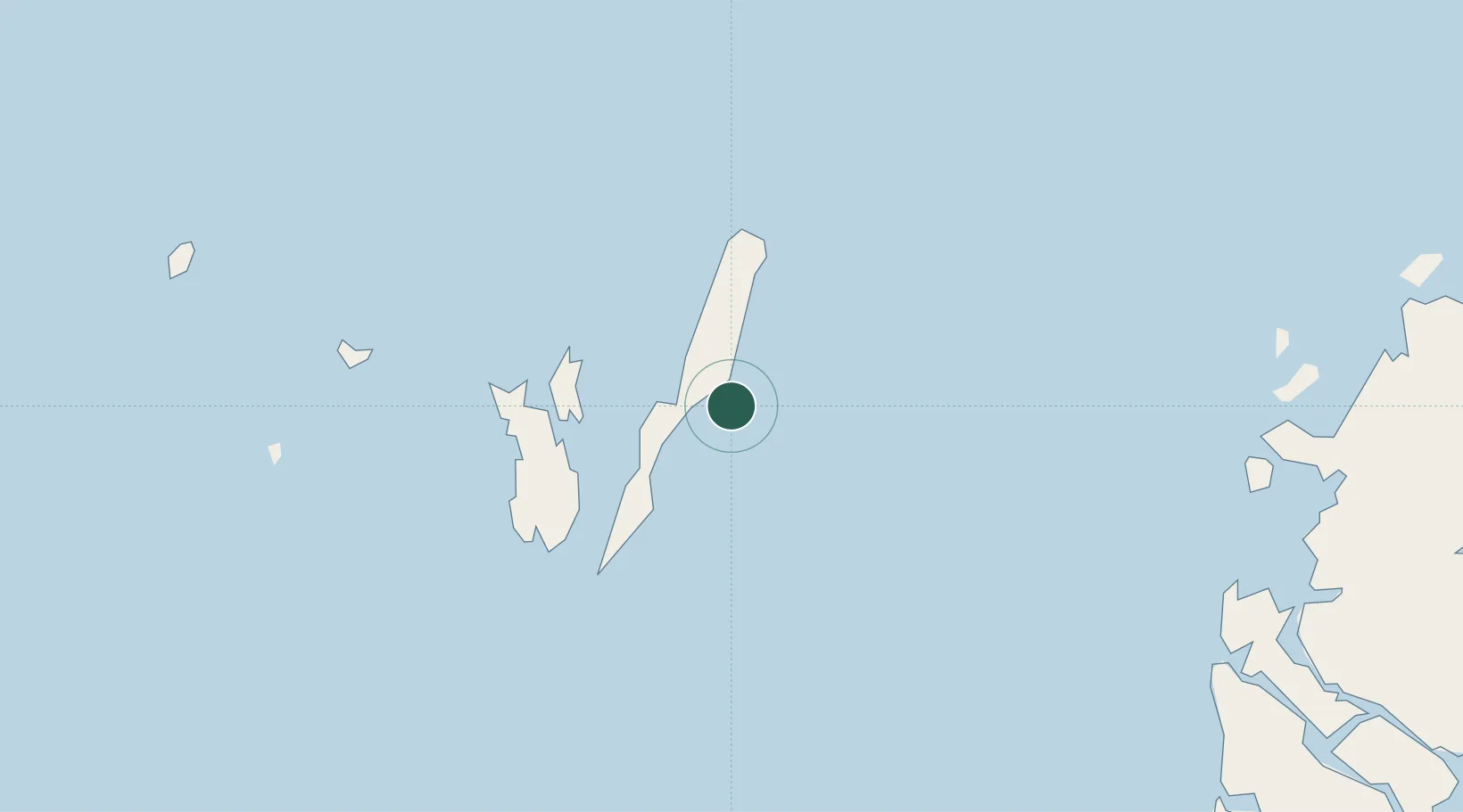
Location
Nearby Logistics Neighbours
Airports
- 1Karel Sadsuitubun Airport41 km
- 2Utarom Airport232 km
- 3Mathilda Batlayeri Airport314 km
- 4Fakfak Airport318 km
- 5Babo Airport349 km
Trade Zones
- 1KEK Sorong554 km
- 2Western Province Special Economic Zone785 km
- 3Atauro Special Economic Zone877 km
- 4Sandaun Special Economic Zone885 km
- 5Sepik Special Economic Zone961 km
DatabookThe Record of Consolidated Knowledge
Indonesia beyond logistics?