Transport Functions
Port
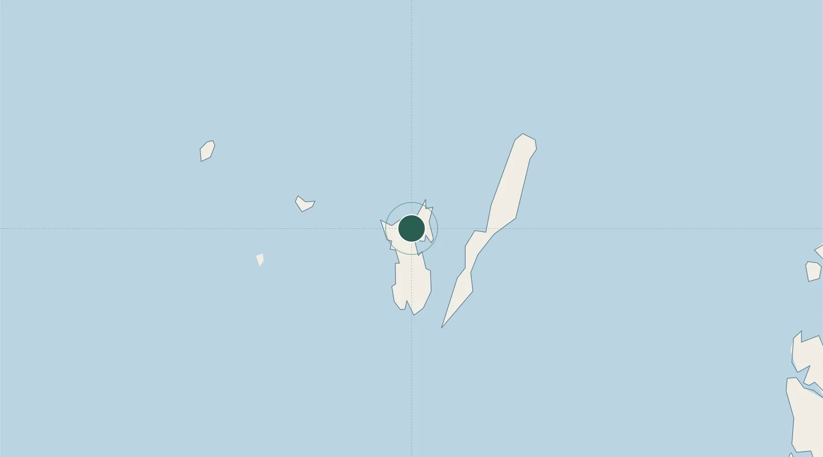
Hub Profile
Place type
Populated place
Region
Maluku
Population
90,007
Time zone
Asia/Jayapura
Elevation
41 m
Location
Nearby Logistics Neighbours
Airports
- 1Karel Sadsuitubun Airport14 km
- 2Utarom Airport246 km
- 3Mathilda Batlayeri Airport291 km
- 4Fakfak Airport306 km
- 5Babo Airport354 km
Trade Zones
- 1KEK Sorong538 km
- 2Western Province Special Economic Zone827 km
- 3Atauro Special Economic Zone838 km
- 4Sandaun Special Economic Zone927 km
- 5KEK Morotai992 km
DatabookThe Record of Consolidated Knowledge
Indonesia beyond logistics?