Channel & Berth Profile
Pilotage, Tugs & Services
Pilotage compulsoryYES
Pilotage availableYES
Tug assistanceYES
Potable waterNO
Diesel bunkersNO
Facilities & Capabilities
Container—
Ro-Ro—
Liquid bulk—
Dry bulk—
Oil terminal—
Break bulk—
Dry dock—
Repairs—
BunkeringNO
Rail link—
Dangerous cargo—
ISPS security—
Harbour Specifications
Harbour size
Very Small
Harbour type
Coastal (Natural)
Shelter
Poor
Water body
Makassar Strait; South Pacific Ocean
Tidal range
2 m
Overhead limit
Yes
Pilotage
Yes
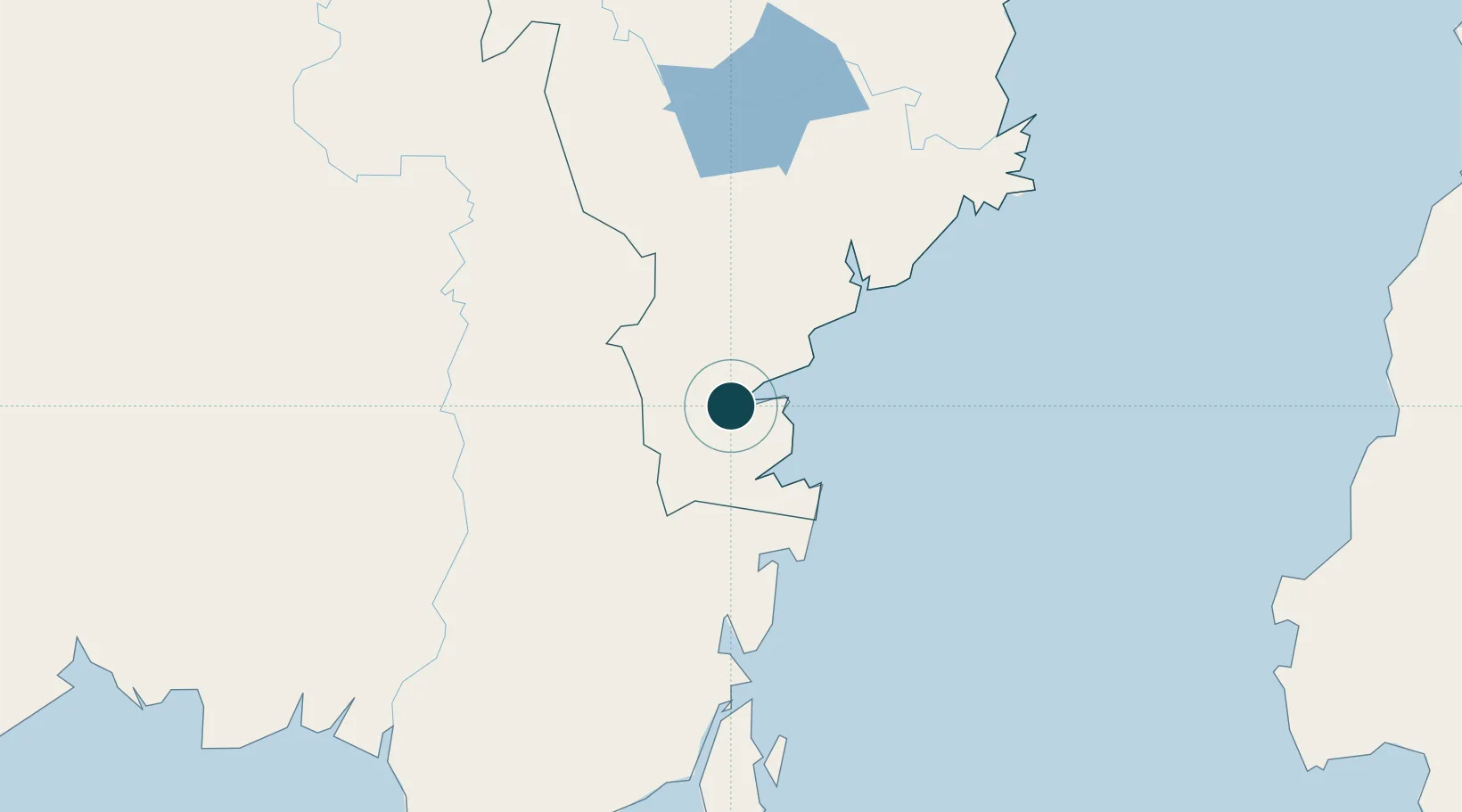
Location
Nearby Logistics Neighbours
Ports
- 1Lawi Lawi Oil Terminal78 km
- 2Gunung Batu Besar90 km
- 3Balikpapan96 km
- 4Senipah Oil Terminal147 km
- 5North Pulau Laut Coal Terminal154 km
Cities
- 1Kariangau100 km
- 2Balikpapan101 km
- 3Senipah146 km
- 4Tanjung Pemancingan152 km
- 5Buntok152 km
Airports
Trade Zones
DatabookThe Record of Consolidated Knowledge
Indonesia beyond logistics?