Medium airport · Indonesia

Mutiara - SIS Al-Jufrie AirportWAFF
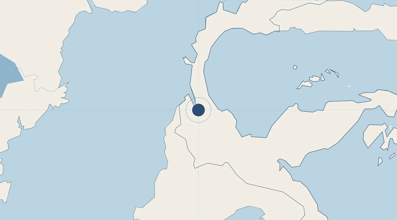
-0.9165°, 119.9086°
6,781 ft
Longest runway
1
Runways
284 ft
Elevation

Runway & Layout

Mutiara - SIS Al-Jufrie Airport runway & taxiway layout
Runway & taxiway layout — OpenStreetMap (ODbL) / OurAirports

Radio Frequencies

TWR
118.7 MHz
OurAirports

Navaids

OP NDB Palu 270 kHz
PAL VOR-DME Palu 116.20 MHz
OurAirports

Runways · 1

RunwayDimensions SurfaceTrue headingLit
15/33 6,781 × 98ft Asphalt 156°
OurAirports

Airport Specifications

IATA code
PLW
OurAirports
ICAO code
WAFF
OurAirports
Airport class
Medium airport
OurAirports
Scheduled service
Yes
OurAirports
Runway surface
Asphalt
OurAirports
Served city
Palu
OurAirports

Location

Location of WAFF
Natural Earth 10m (public domain) · Sulawesi Tengah · WAFF · -0.92, 119.91GoogleOSMYandex

Nearby Logistics Neighbours

Airports
  1. 1Kasiguncu Airport100 km
  2. 2Tanjung Api Airport191 km
  3. 3Maleo Airport242 km
  4. 4Bua - Palopo Lagaligo Airport244 km
  5. 5Sultan Bantilan Airport247 km
Nearest neighbours — logibook spatial index (haversine) over the source coordinates
Cities
  1. 1Pantoloan, Sv24 km
  2. 2Palu24 km
  3. 3Kerobokan57 km
  4. 4Ampana186 km
  5. 5Kolonodale197 km
Nearest neighbours — logibook spatial index (haversine) over the source coordinates
Ports
  1. 1Poso106 km
  2. 2Kolonodale198 km
  3. 3Tanjung Santan279 km
  4. 4Bontang Lng Terminal292 km
  5. 5Tanjung Sangata297 km
Nearest neighbours — logibook spatial index (haversine) over the source coordinates
Trade Zones
  1. 1Palu Special Economic Zone23 km
  2. 2Maloy Batuta Trans Kalimantan Special Economic Zone292 km
  3. 3Kaltim Industrial Estate297 km
  4. 4Morowali Industrial Park328 km
  5. 5Kariangau Industrial Estate343 km
Nearest neighbours — logibook spatial index (haversine) over the source coordinates
DatabookThe Record of Consolidated Knowledge
Indonesia beyond logistics?
Browse databook

All Sources

AirportsOurAirports
Public domain
Portsthe NGA World Port Index
Public domain (US gov)
LocationsUN/LOCODE
UN/LOCODE — free
Trade Zonesthe World Bank SEZ database
CC BY 4.0
Trade ZonesOpen Zone Map
CC BY
InfrastructureOpenStreetMap
ODbL 1.0
← Indonesia airports