Transport Functions
Multimodal
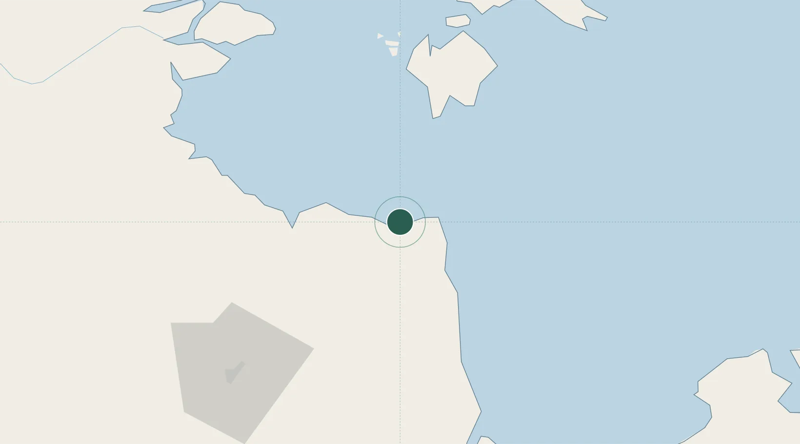
Hub Profile
Region
RI
Location
Nearby Logistics Neighbours
Cities
- 1Jabung Terminal26 km
- 2Muara Sabak45 km
- 3Kampung Laut51 km
- 4Dabo, Singkep Isl71 km
- 5Jambi, Sumatra86 km
Ports
- 1Jabung Batanghari Marine Terminal24 km
- 2Dabo72 km
- 3Muntok153 km
- 4Blinyu184 km
- 5Kijang215 km
Airports
- 1Sultan Thaha Airport93 km
- 2Sultan Mahmud Badaruddin II Airport212 km
- 3Raja Haji Fisabilillah International Airport222 km
- 4Japura Airport225 km
- 5Muara Bungo Airport235 km
Trade Zones
- 1Tanjung Api-api Special Economic Zone163 km
- 2Karimun Free Trade Zone210 km
- 3KEK Galang Batang223 km
- 4Bintan Industrial Estate229 km
- 5Batamindo Industrial Park236 km
DatabookThe Record of Consolidated Knowledge
Indonesia beyond logistics?