Diversified Zone · Indonesia

Bintan Industrial Estate Active

1.0065°, 104.2608°
270 ha
Zone area
8.3 km
Nearest port
20.3 km
Nearest airport

Gateway access

Nearest neighbours — logibook spatial index (haversine) over the source coordinates

Zone profile

Zone type
Diversified Zone
Open Zone Map
Region
Kepulauan Riau
Open Zone Map
Status
Active
Open Zone Map
Management
Public-Private Partnership
Open Zone Map
Operator
PT Bintan Inti Industrial Estate
Open Zone Map
Legal framework
The Law No 3. Article 106, issued in 2014
Open Zone Map

Location

Location of ozm-2364
Natural Earth 10m (public domain) · Kepulauan Riau · ozm-2364 · 1.01, 104.26GoogleOSMYandex

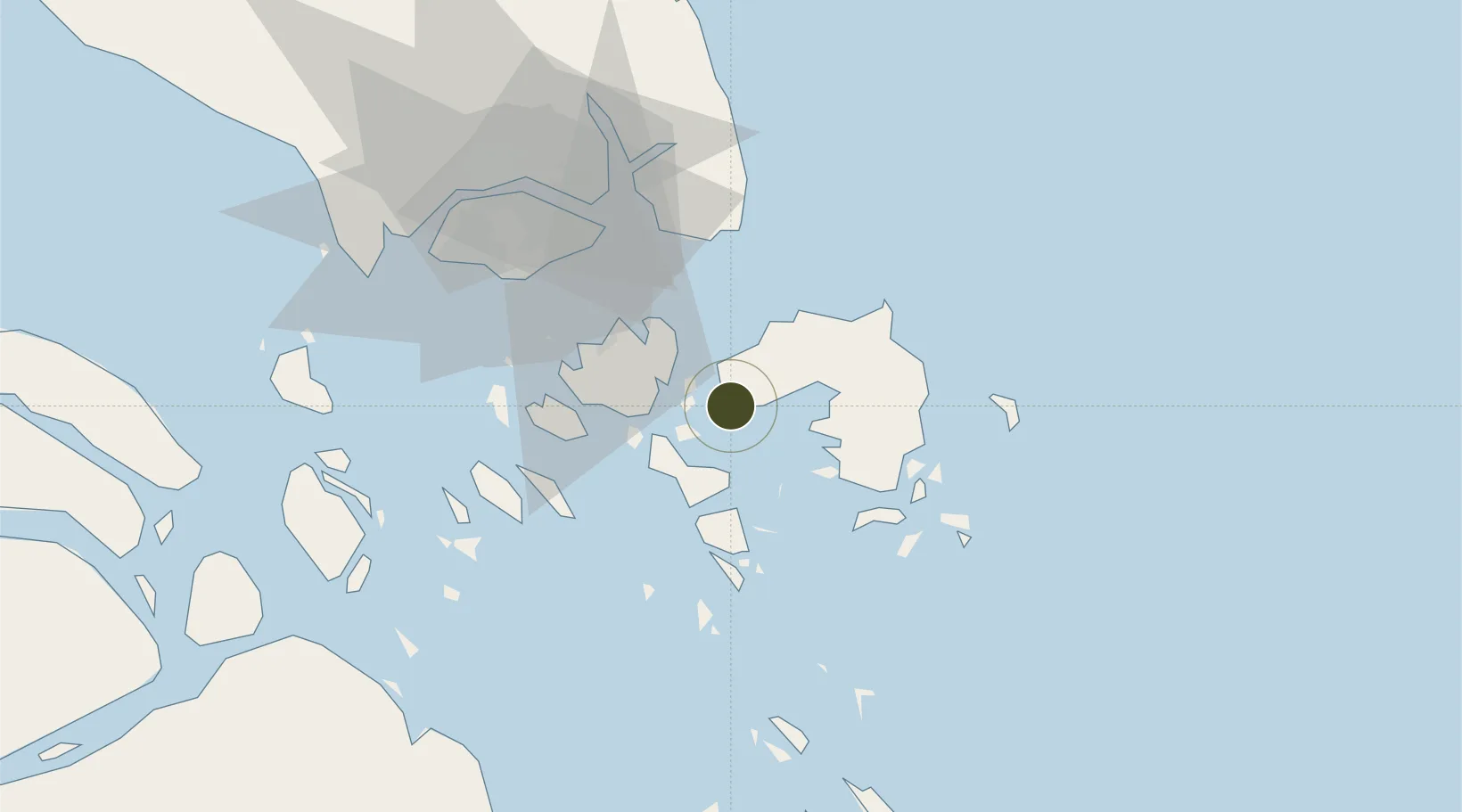
Nearby Logistics Neighbours

Ports
  1. 1Tanjunguban8 km
  2. 2Tanjungpinang23 km
  3. 3Sekupang41 km
  4. 4Kijang42 km
  5. 5Pulau Sambu44 km
Nearest neighbours — logibook spatial index (haversine) over the source coordinates
Airports
  1. 1Hang Nadim International Airport20 km
  2. 2Raja Haji Fisabilillah International Airport32 km
  3. 3Changi Air Base (East)47 km
  4. 4Singapore Changi Airport48 km
  5. 5Paya Lebar Air Base55 km
Nearest neighbours — logibook spatial index (haversine) over the source coordinates
Cities
  1. 1Lobam1 km
  2. 2Tanjunguban6 km
  3. 3Tanjungpinang23 km
  4. 4Batam Island32 km
  5. 5Batu Ampar34 km
Nearest neighbours — logibook spatial index (haversine) over the source coordinates
Trade Zones
  1. 1Kabil Integrated Industrial Estate (KIIE)18 km
  2. 2Taiwan International Industrial Estate19 km
  3. 3Batam-Bintan-Karimun Free Trade Zone24 km
  4. 4Sarana Industrial Point24 km
  5. 5Tunas Industrial Estate 225 km
Nearest neighbours — logibook spatial index (haversine) over the source coordinates
DatabookThe Record of Consolidated Knowledge
Indonesia beyond logistics?
Browse databook

All Sources

Trade ZonesOpen Zone Map
CC BY
Portsthe NGA World Port Index
Public domain (US gov)
AirportsOurAirports
Public domain
LocationsUN/LOCODE
UN/LOCODE — free
← Indonesia trade zones