Channel & Berth Profile
Pilotage, Tugs & Services
Pilotage compulsoryNO
Pilotage availableNO
Pilotage advisableNO
Local assistanceNO
Tug assistanceYES
Potable waterYES
Diesel bunkersYES
MedicalYES
Facilities & Capabilities
Container—
Ro-Ro—
Liquid bulk—
Dry bulk—
Oil terminal—
Break bulk—
Dry dock—
RepairsNO
Bunkering—
Rail linkYES
Dangerous cargo—
ISPS security—
Harbour Specifications
Harbour size
Very Small
Harbour type
Open Roadstead
Shelter
Poor
Water body
Natuna Sea; South China Sea; South Pacific Ocean
Overhead limit
No
Pilotage
No
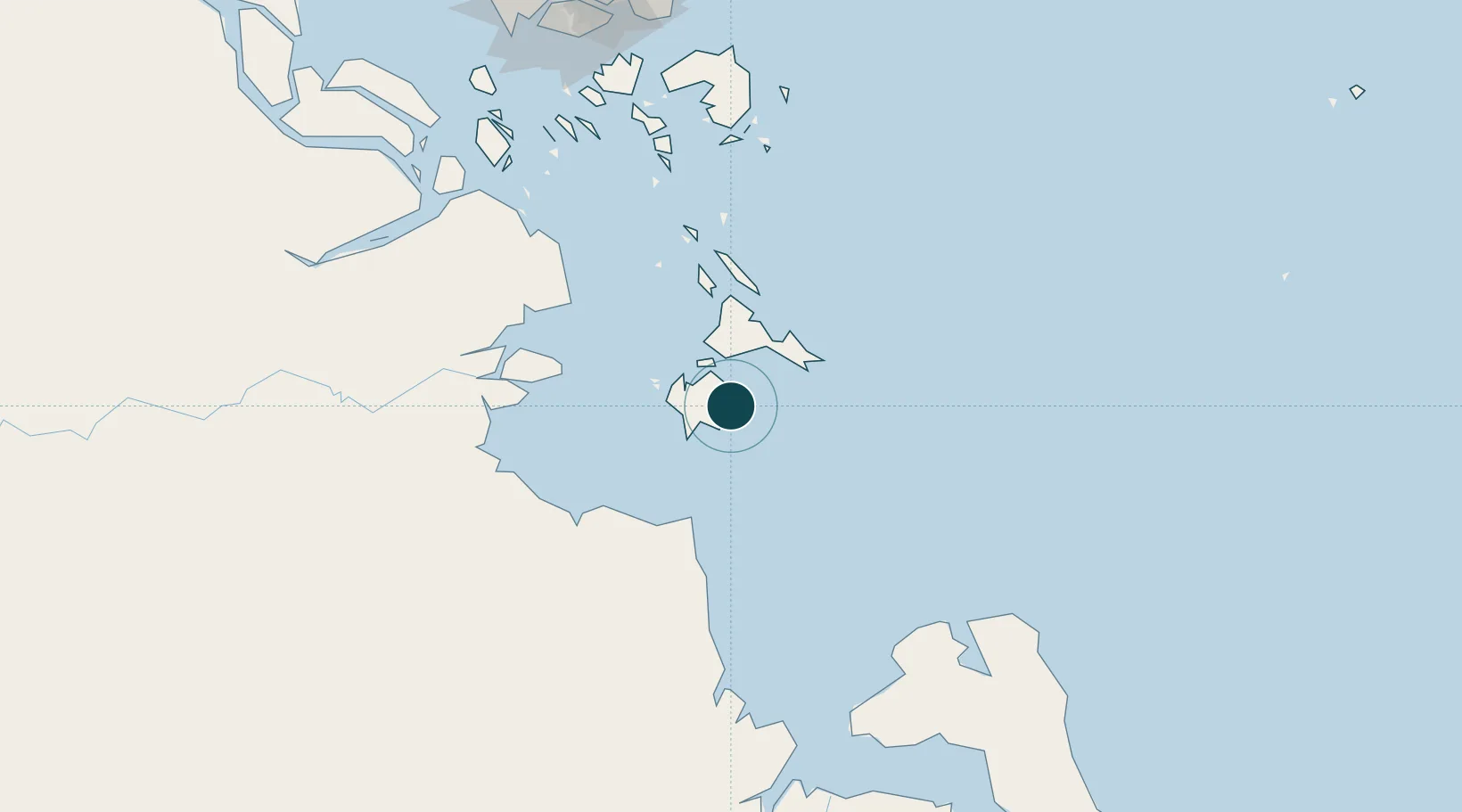
Location
Nearby Logistics Neighbours
Ports
- 1Jabung Batanghari Marine Terminal72 km
- 2Kijang150 km
- 3Tanjungpinang158 km
- 4Tanjunguban179 km
- 5Blinyu185 km
Cities
- 1Jabung Terminal70 km
- 2Tanjung Uban72 km
- 3Muara Sabak80 km
- 4Kampung Laut96 km
- 5Kuala Enok130 km
Airports
Trade Zones
- 1KEK Galang Batang157 km
- 2Bintan Industrial Estate171 km
- 3Karimun Free Trade Zone179 km
- 4Batamindo Industrial Park184 km
- 5Taiwan International Industrial Estate185 km
DatabookThe Record of Consolidated Knowledge
Indonesia beyond logistics?