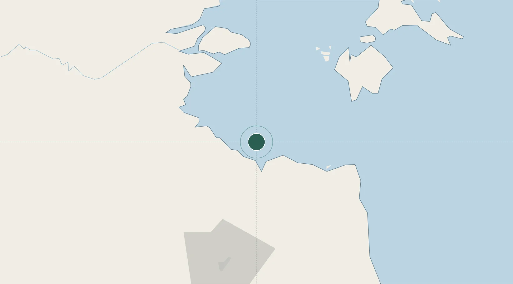
UN/LOCODE hub · Indonesia
IDKPL

Kampung Laut

-0.9000°, 103.8000°
1
Transport functions

Transport Functions

Port
UN/LOCODE

Hub Profile

Place type
Populated place
GeoNames
Region
Jambi
GeoNames
Time zone
Asia/Jakarta
GeoNames
Elevation
3 m
GeoNames

Location

Location of IDKPL
Natural Earth 10m (public domain) · Jambi · IDKPL · -0.90, 103.80GoogleOSMYandex

Nearby Logistics Neighbours

Cities
  1. 1Muara Sabak17 km
  2. 2Jabung Terminal30 km
  3. 3Tanjung Uban51 km
  4. 4Kuala Enok60 km
  5. 5Jambi, Sumatra76 km
Nearest neighbours — logibook spatial index (haversine) over the source coordinates
Ports
  1. 1Jabung Batanghari Marine Terminal30 km
  2. 2Dabo96 km
  3. 3Muntok200 km
  4. 4Tanjung Balai Karimun213 km
  5. 5Kijang214 km
Nearest neighbours — logibook spatial index (haversine) over the source coordinates
Airports
  1. 1Sultan Thaha Airport84 km
  2. 2Japura Airport174 km
  3. 3Muara Bungo Airport194 km
  4. 4Raja Haji Fisabilillah International Airport219 km
  5. 5Hang Nadim International Airport228 km
Nearest neighbours — logibook spatial index (haversine) over the source coordinates
Trade Zones
  1. 1Karimun Free Trade Zone179 km
  2. 2Tanjung Api-api Special Economic Zone201 km
  3. 3Latrade Industrial Park217 km
  4. 4Bintan Industrial Estate218 km
  5. 5Batamindo Industrial Park219 km
Nearest neighbours — logibook spatial index (haversine) over the source coordinates
DatabookThe Record of Consolidated Knowledge
Indonesia beyond logistics?
Browse databook

All Sources

LocationsUN/LOCODE
UN/LOCODE — free
Portsthe NGA World Port Index
Public domain (US gov)
AirportsOurAirports
Public domain
Trade Zonesthe World Bank SEZ database
CC BY 4.0
Trade ZonesOpen Zone Map
CC BY
← Indonesia locations