Large airport · Indonesia
Hang Nadim International AirportWIDD
1.1210°, 104.1190°
13,218 ft
Longest runway
1
Runways
126 ft
Elevation
Runway & Layout

Radio Frequencies
ATIS
126.25 MHz
TWR
118.3 MHz
Secondary
TWR
118.7 MHz
Primary
GND
121.75 MHz
GND/CLNC DEL
APP
130.2 MHz
TANJUNG PINANG APP
ACC
120.3 MHz
SINGAPORE APP
Navaids
BM NDB Batam 370 kHz
BTM VOR-DME Batam 116.00 MHz
Runways · 1
| Runway | Dimensions | Surface | True heading | Lit |
|---|---|---|---|---|
| 04/22 | 13,218 × 148ft | Asphalt | 042° | ✓ |
Airport Specifications
IATA code
BTH
ICAO code
WIDD
Airport class
Large airport
Scheduled service
Yes
Runway surface
Asphalt
Served city
Batam
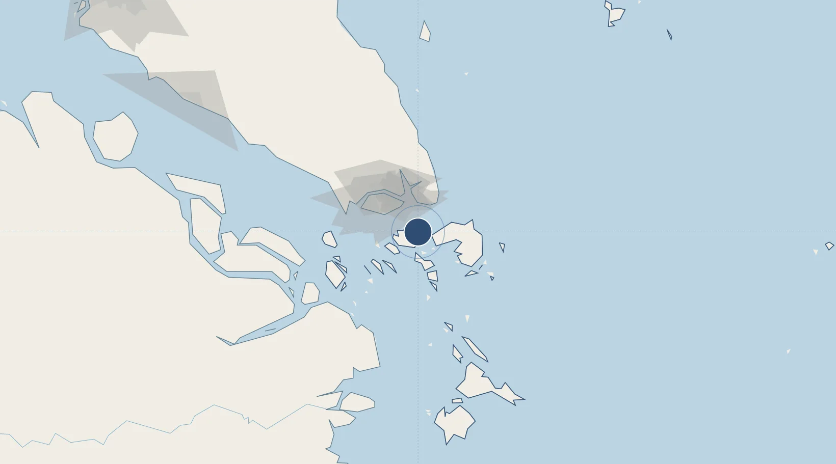
Location
Nearby Logistics Neighbours
Airports
- 1Changi Air Base (East)28 km
- 2Singapore Changi Airport29 km
- 3Paya Lebar Air Base35 km
- 4Seletar Airport43 km
- 5Sembawang Air Base48 km
Cities
- 1Batam Island13 km
- 2Batu Ampar14 km
- 3Tanjunguban15 km
- 4Sekupang21 km
- 5Lobam21 km
Ports
- 1Tanjunguban12 km
- 2Sekupang23 km
- 3Pulau Sambu25 km
- 4Keppel - (East Singapore)35 km
- 5Pulau Sebarok37 km
DatabookThe Record of Consolidated Knowledge
Indonesia beyond logistics?