Seaport · Indonesia
TanjungpinangIDTNJ
0.9167°, 104.4500°
1.8 m
Channel depth
7.1
Port liner connectivity
Channel & Berth Profile
Pilotage, Tugs & Services
Pilotage compulsoryYES
Pilotage availableYES
Potable waterYES
Diesel bunkersNO
MedicalYES
Facilities & Capabilities
Container—
Ro-Ro—
Liquid bulk—
Dry bulk—
Oil terminal—
Break bulk—
Dry dockNO
RepairsNO
BunkeringNO
Rail link—
Dangerous cargo—
ISPS security—
Harbour Specifications
Harbour size
Very Small
Harbour type
Open Roadstead
Shelter
Fair
Water body
Natuna Sea; South China Sea; South Pacific Ocean
Tidal range
1 m
Overhead limit
No
Pilotage
Yes
Liner Connectivity
7.1
PLSCI
Port Liner Shipping Connectivity Index for Tanjungpinang, as published by UNCTAD for the latest available quarter. Higher values indicate stronger scheduled liner-shipping integration.
Shown relative to the highest per-port PLSCI in the dataset (1,657.9).
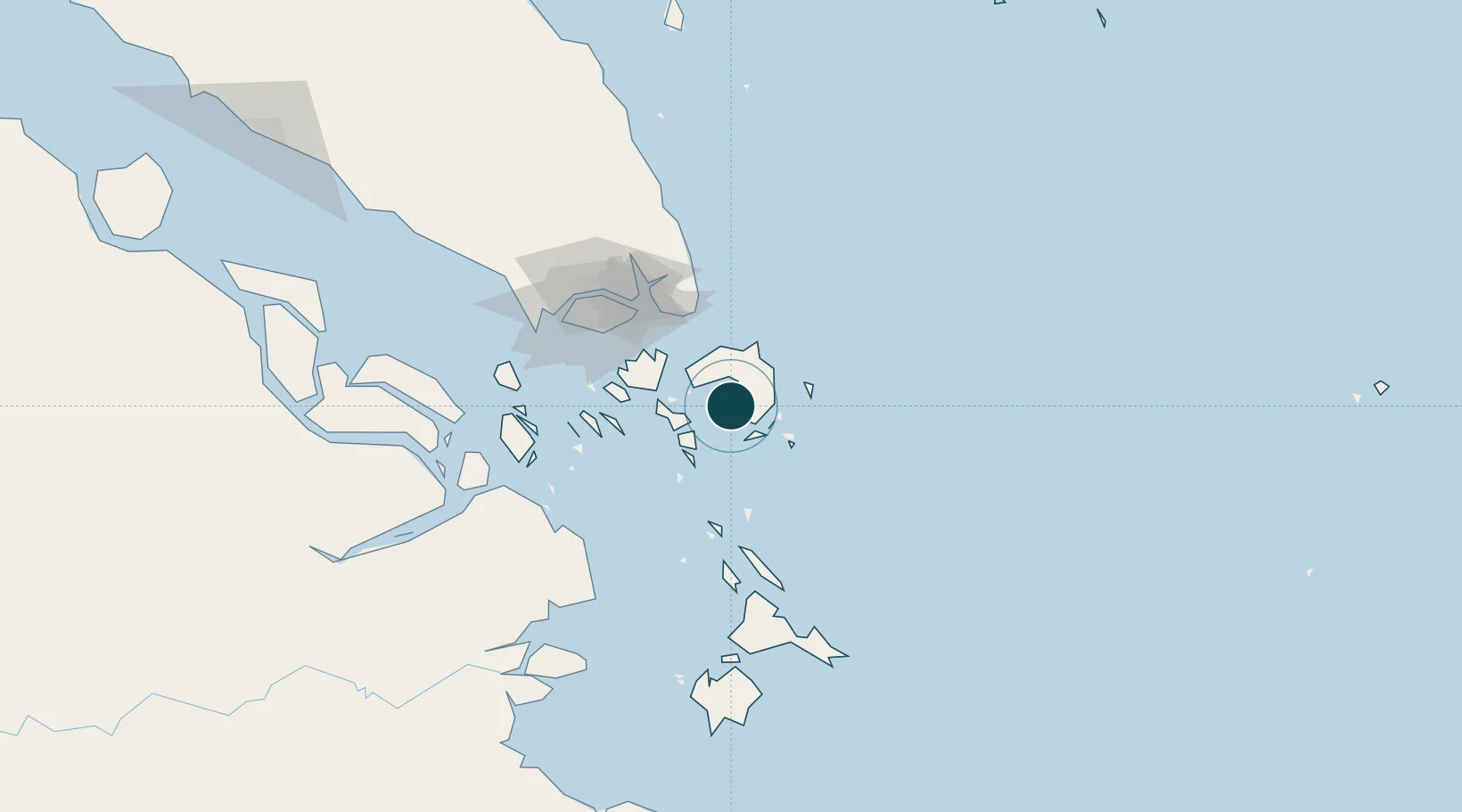
Location
Nearby Logistics Neighbours
Ports
- 1Kijang18 km
- 2Tanjunguban31 km
- 3Sekupang64 km
- 4Pulau Sambu67 km
- 5Keppel - (East Singapore)78 km
Cities
- 1Kidjang, Bintan19 km
- 2Lobam22 km
- 3Tanjunguban28 km
- 4Batam Island56 km
- 5Batu Ampar57 km
Airports
Trade Zones
DatabookThe Record of Consolidated Knowledge
Indonesia beyond logistics?