Medium airport · Indonesia

Raja Haji Fisabilillah International AirportWIDN
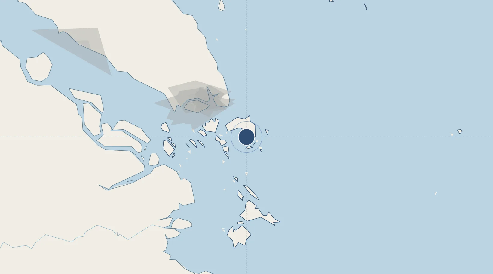
0.9240°, 104.5334°
7,380 ft
Longest runway
1
Runways
52 ft
Elevation

Runway & Layout

Raja Haji Fisabilillah International Airport runway & taxiway layout
Runway & taxiway layout — OpenStreetMap (ODbL) / OurAirports

Radio Frequencies

TWR
118.4 MHz
APP
130.2 MHz
TANJUNG PINANG APP
ACC
120.3 MHz
SINGAPORE APP
OurAirports

Navaids

TI NDB Tanjung Pinang 385 kHz
TPG VOR-DME Tanjung Pinang 114.80 MHz
OurAirports

Runways · 1

RunwayDimensions SurfaceTrue headingLit
04/22 7,380 × 98ft Asphalt 043°
OurAirports

Airport Specifications

IATA code
TNJ
OurAirports
ICAO code
WIDN
OurAirports
Airport class
Medium airport
OurAirports
Scheduled service
Yes
OurAirports
Runway surface
Asphalt
OurAirports
Served city
Tanjung Pinang-Bintan Island
OurAirports

Location

Location of WIDN
Natural Earth 10m (public domain) · Kepulauan Riau · WIDN · 0.92, 104.53GoogleOSMYandex

Nearby Logistics Neighbours

Airports
  1. 1Hang Nadim International Airport51 km
  2. 2Changi Air Base (East)75 km
  3. 3Singapore Changi Airport76 km
  4. 4Paya Lebar Air Base85 km
  5. 5Seletar Airport92 km
Nearest neighbours — logibook spatial index (haversine) over the source coordinates
Cities
  1. 1Tanjungpinang9 km
  2. 2Kidjang, Bintan11 km
  3. 3Lobam31 km
  4. 4Tanjunguban36 km
  5. 5Batam Island64 km
Nearest neighbours — logibook spatial index (haversine) over the source coordinates
Ports
  1. 1Tanjungpinang9 km
  2. 2Kijang11 km
  3. 3Tanjunguban39 km
  4. 4Sekupang72 km
  5. 5Pulau Sambu75 km
Nearest neighbours — logibook spatial index (haversine) over the source coordinates
Trade Zones
  1. 1KEK Galang Batang14 km
  2. 2Bintan Industrial Estate32 km
  3. 3Kabil Integrated Industrial Estate (KIIE)49 km
  4. 4Taiwan International Industrial Estate50 km
  5. 5Batam-Bintan-Karimun Free Trade Zone55 km
Nearest neighbours — logibook spatial index (haversine) over the source coordinates
DatabookThe Record of Consolidated Knowledge
Indonesia beyond logistics?
Browse databook

All Sources

AirportsOurAirports
Public domain
Portsthe NGA World Port Index
Public domain (US gov)
LocationsUN/LOCODE
UN/LOCODE — free
Trade Zonesthe World Bank SEZ database
CC BY 4.0
Trade ZonesOpen Zone Map
CC BY
InfrastructureOpenStreetMap
ODbL 1.0
← Indonesia airports