Transport Functions
Port
Road
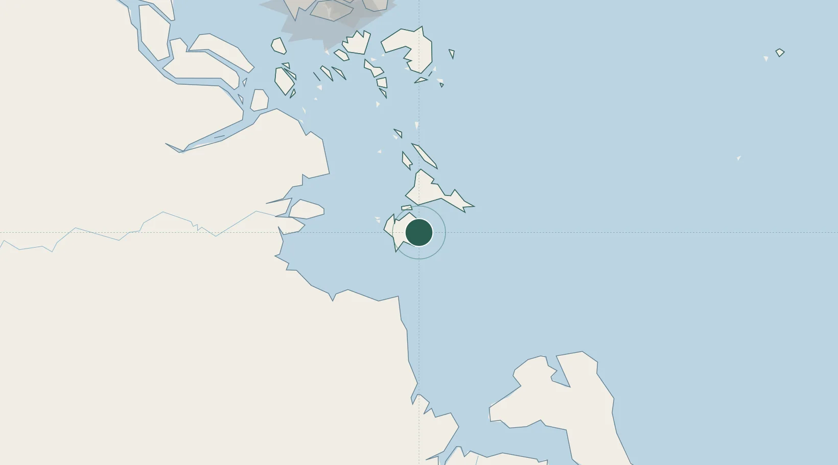
Location
Nearby Logistics Neighbours
Cities
- 1Jabung Terminal69 km
- 2Tanjung Uban71 km
- 3Muara Sabak78 km
- 4Kampung Laut95 km
- 5Kuala Enok128 km
Ports
- 1Jabung Batanghari Marine Terminal71 km
- 2Kijang150 km
- 3Tanjungpinang158 km
- 4Tanjunguban178 km
- 5Blinyu186 km
Airports
Trade Zones
- 1KEK Galang Batang157 km
- 2Bintan Industrial Estate171 km
- 3Karimun Free Trade Zone178 km
- 4Batamindo Industrial Park183 km
- 5Taiwan International Industrial Estate184 km
DatabookThe Record of Consolidated Knowledge
Indonesia beyond logistics?