UN/LOCODE hub · Indonesia
IDJBT

Jabung Terminal

-0.8833°, 104.0667°
1
Transport functions

Transport Functions

Port
Jabung Terminal is also a profiled seaport →
UN/LOCODE

Hub Profile

Region
RI
GeoNames

Location

Location of IDJBT
Natural Earth 10m (public domain) · RI · IDJBT · -0.88, 104.07GoogleOSMYandex

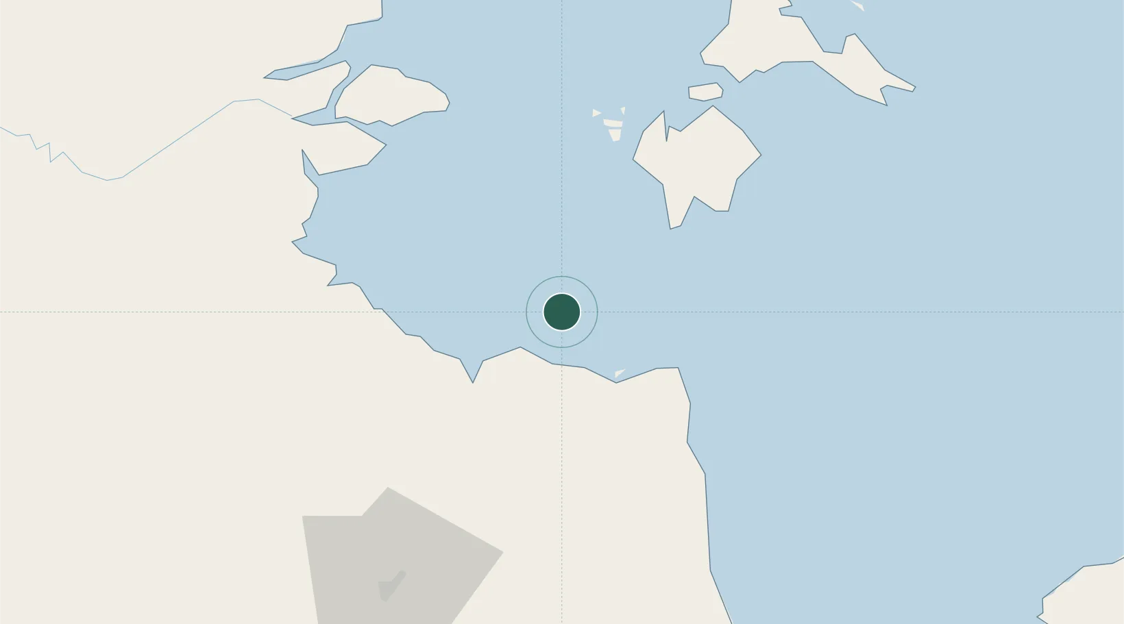
Nearby Logistics Neighbours

Cities
  1. 1Muara Sabak19 km
  2. 2Tanjung Uban26 km
  3. 3Kampung Laut30 km
  4. 4Dabo, Singkep Isl69 km
  5. 5Kuala Enok84 km
Nearest neighbours — logibook spatial index (haversine) over the source coordinates
Ports
  1. 1Dabo70 km
  2. 2Muntok180 km
  3. 3Kijang202 km
  4. 4Tanjungpinang205 km
  5. 5Blinyu208 km
Nearest neighbours — logibook spatial index (haversine) over the source coordinates
Airports
  1. 1Sultan Thaha Airport96 km
  2. 2Japura Airport201 km
  3. 3Raja Haji Fisabilillah International Airport208 km
  4. 4Muara Bungo Airport222 km
  5. 5Hang Nadim International Airport223 km
Nearest neighbours — logibook spatial index (haversine) over the source coordinates
Trade Zones
  1. 1Karimun Free Trade Zone186 km
  2. 2Tanjung Api-api Special Economic Zone188 km
  3. 3KEK Galang Batang210 km
  4. 4Bintan Industrial Estate211 km
  5. 5Latrade Industrial Park216 km
Nearest neighbours — logibook spatial index (haversine) over the source coordinates
DatabookThe Record of Consolidated Knowledge
Indonesia beyond logistics?
Browse databook

All Sources

LocationsUN/LOCODE
UN/LOCODE — free
Portsthe NGA World Port Index
Public domain (US gov)
AirportsOurAirports
Public domain
Trade Zonesthe World Bank SEZ database
CC BY 4.0
Trade ZonesOpen Zone Map
CC BY
← Indonesia locations