Channel & Berth Profile
Pilotage, Tugs & Services
Pilotage compulsoryYES
Pilotage availableYES
Tug assistanceYES
Potable waterNO
Diesel bunkersNO
MedicalYES
Facilities & Capabilities
Container—
Ro-Ro—
Liquid bulk—
Dry bulk—
Oil terminal—
Break bulk—
Dry dock—
RepairsNO
BunkeringNO
Rail link—
Dangerous cargo—
ISPS security—
Harbour Specifications
Harbour size
Very Small
Harbour type
River (Natural)
Shelter
Good
Water body
Natuna Sea; South China Sea; South Pacific Ocean
Overhead limit
No
Pilotage
Yes
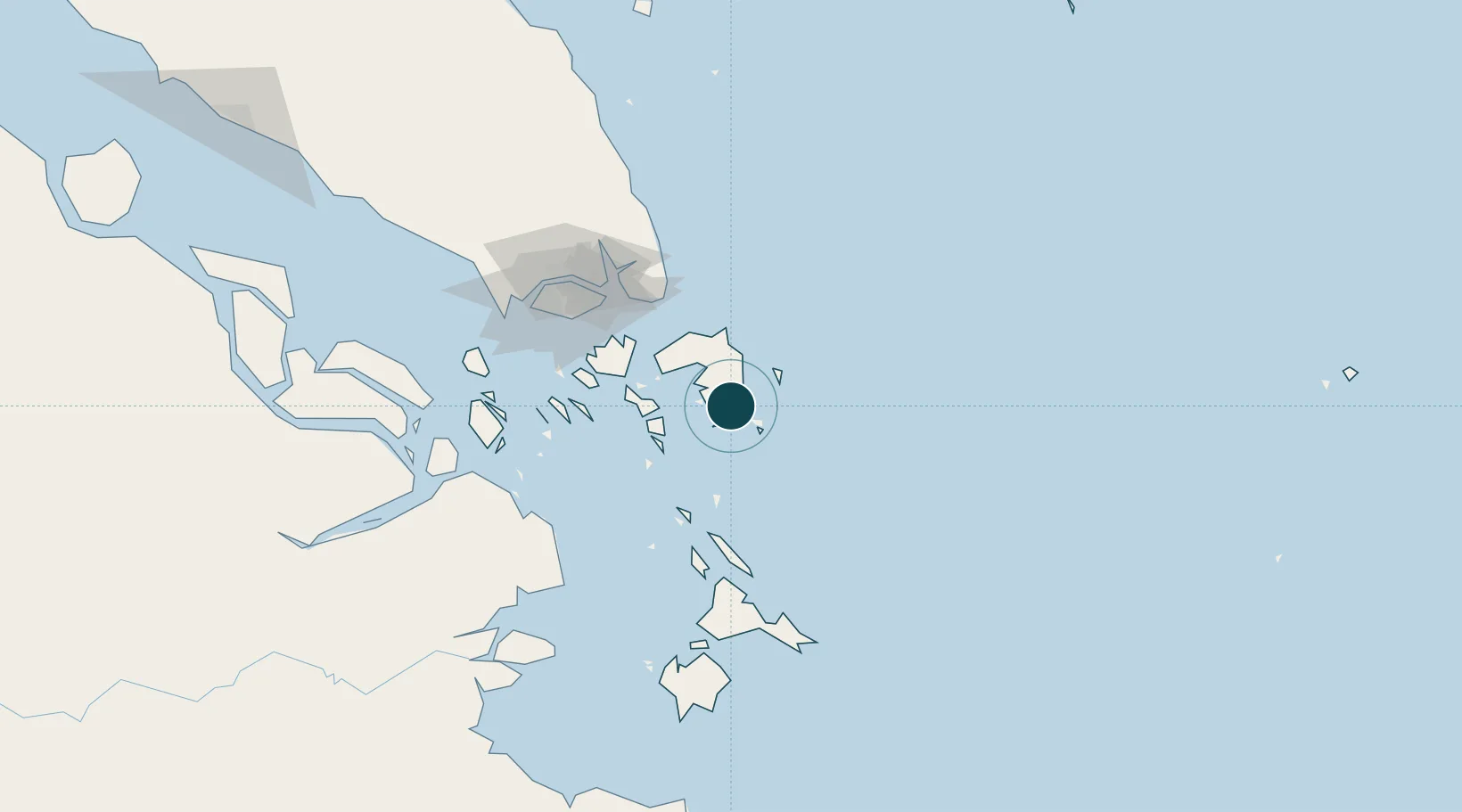
Location
Nearby Logistics Neighbours
Ports
- 1Tanjungpinang18 km
- 2Tanjunguban49 km
- 3Sekupang82 km
- 4Pulau Sambu85 km
- 5Keppel - (East Singapore)96 km
Cities
- 1Kidjang, Bintan2 km
- 2Tanjungpinang18 km
- 3Lobam41 km
- 4Tanjunguban46 km
- 5Batam Island74 km
Airports
Trade Zones
DatabookThe Record of Consolidated Knowledge
Indonesia beyond logistics?