Transport Functions
Port
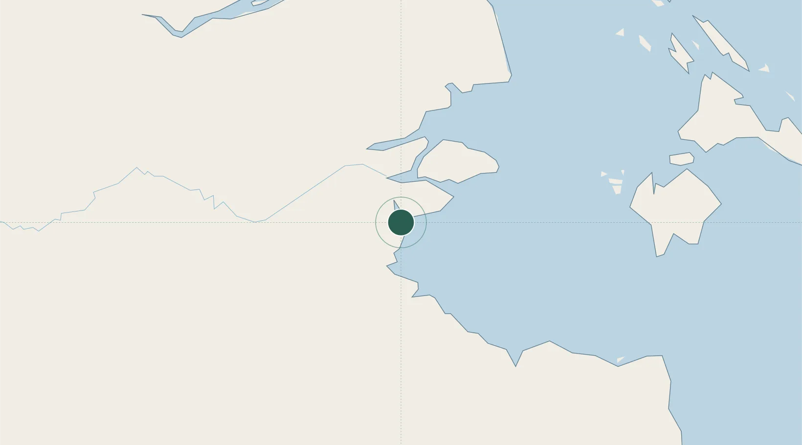
Hub Profile
Place type
Populated place
Region
Riau
Time zone
Asia/Jakarta
Elevation
5 m
Location
Nearby Logistics Neighbours
Cities
- 1Kampung Laut60 km
- 2Muara Sabak65 km
- 3Jabung Terminal84 km
- 4Batuampar88 km
- 5Tanjung Uban109 km
Ports
- 1Jabung Batanghari Marine Terminal86 km
- 2Dabo130 km
- 3Tanjung Balai Karimun169 km
- 4Sekupang194 km
- 5Pulau Sambu197 km
Airports
- 1Japura Airport120 km
- 2Sultan Thaha Airport126 km
- 3Muara Bungo Airport176 km
- 4Hang Nadim International Airport201 km
- 5Raja Haji Fisabilillah International Airport205 km
Trade Zones
- 1Karimun Free Trade Zone135 km
- 2Latrade Industrial Park186 km
- 3Batamindo Industrial Park190 km
- 4Panbil Industrial Estate192 km
- 5West Point Maritime Industrial Park194 km
DatabookThe Record of Consolidated Knowledge
Indonesia beyond logistics?