Channel & Berth Profile
Pilotage, Tugs & Services
Pilotage compulsoryYES
Pilotage availableYES
Tug assistanceYES
Salvage tugsNO
Potable waterYES
MedicalYES
Facilities & Capabilities
Container—
Ro-Ro—
Liquid bulk—
Dry bulk—
Oil terminal—
Break bulk—
Dry dock—
Repairs—
BunkeringYES
Rail link—
Dangerous cargo—
ISPS security—
Harbour Specifications
Harbour size
Very Small
Harbour type
Coastal (Natural)
Shelter
Fair
Water body
Strait of Malacca; Indian Ocean
Pilotage
Yes
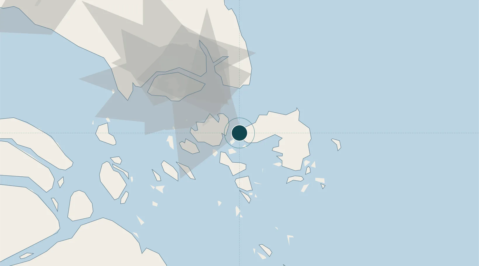
Location
Nearby Logistics Neighbours
Ports
- 1Tanjungpinang31 km
- 2Sekupang34 km
- 3Pulau Sambu37 km
- 4Keppel - (East Singapore)47 km
- 5Pulau Sebarok49 km
Cities
- 1Lobam9 km
- 2Batam Island25 km
- 3Batu Ampar26 km
- 4Tanjungpinang31 km
- 5Sekupang32 km
Airports
DatabookThe Record of Consolidated Knowledge
Indonesia beyond logistics?