Transport Functions
Port
Road
Hub Profile
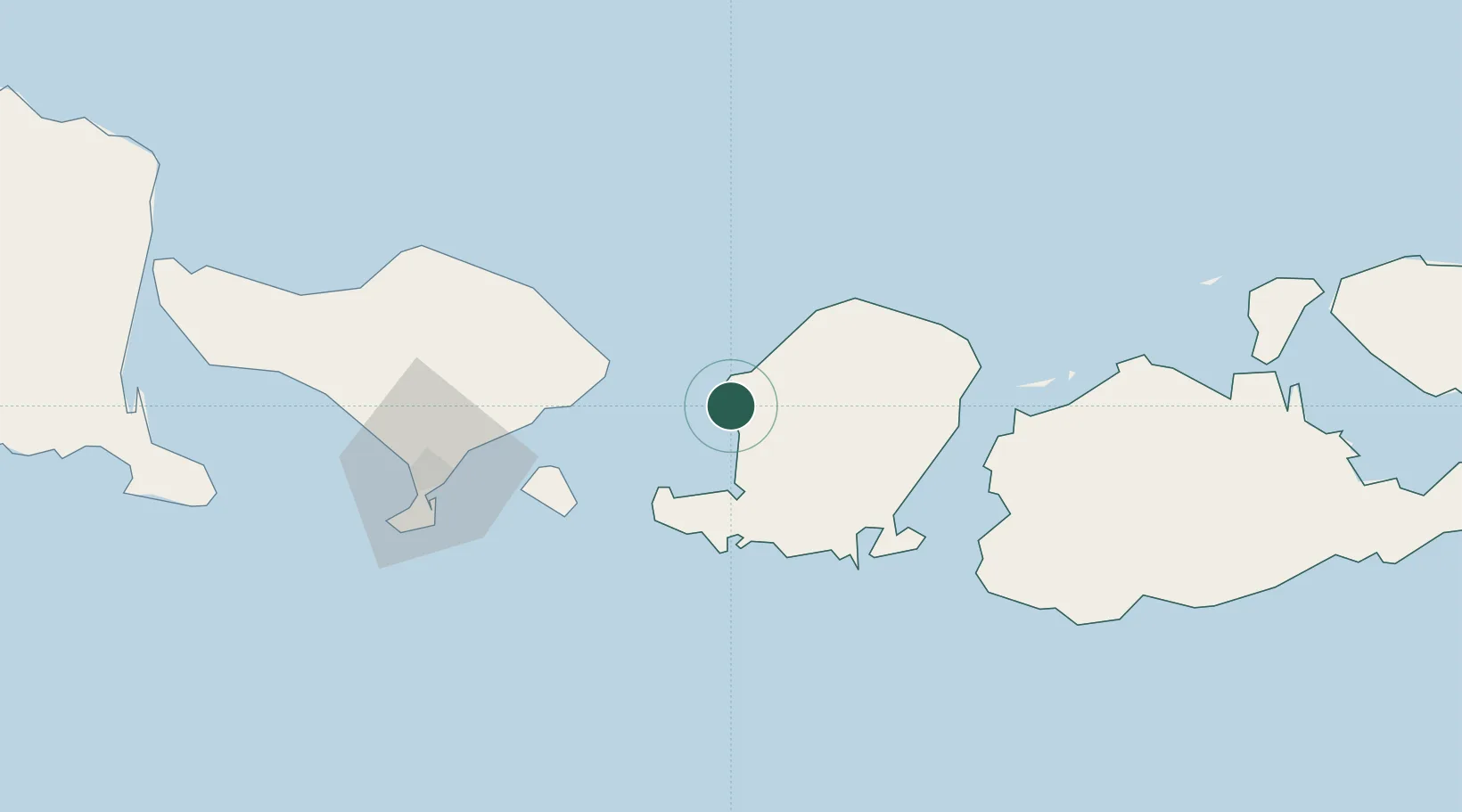
Place type
Populated place
Region
West Nusa Tenggara
Population
5,000
Time zone
Asia/Makassar
Elevation
80 m
Location
Nearby Logistics Neighbours
Ports
- 1Ampenan8 km
- 2Tanjung Benete89 km
- 3Benoa96 km
- 4Celukan Bawang138 km
- 5Panarukan249 km
Airports
Trade Zones
- 1KEK Mandalika52 km
- 2Pasuruan Industrial Estate Rembang369 km
- 3Safe N Lock Industrial Estate382 km
- 4KEK Singhasari382 km
- 5Surabaya Industrial Estate - Rungkut385 km
DatabookThe Record of Consolidated Knowledge
Indonesia beyond logistics?