Medium airport · Indonesia
Wamena AirportWAVV
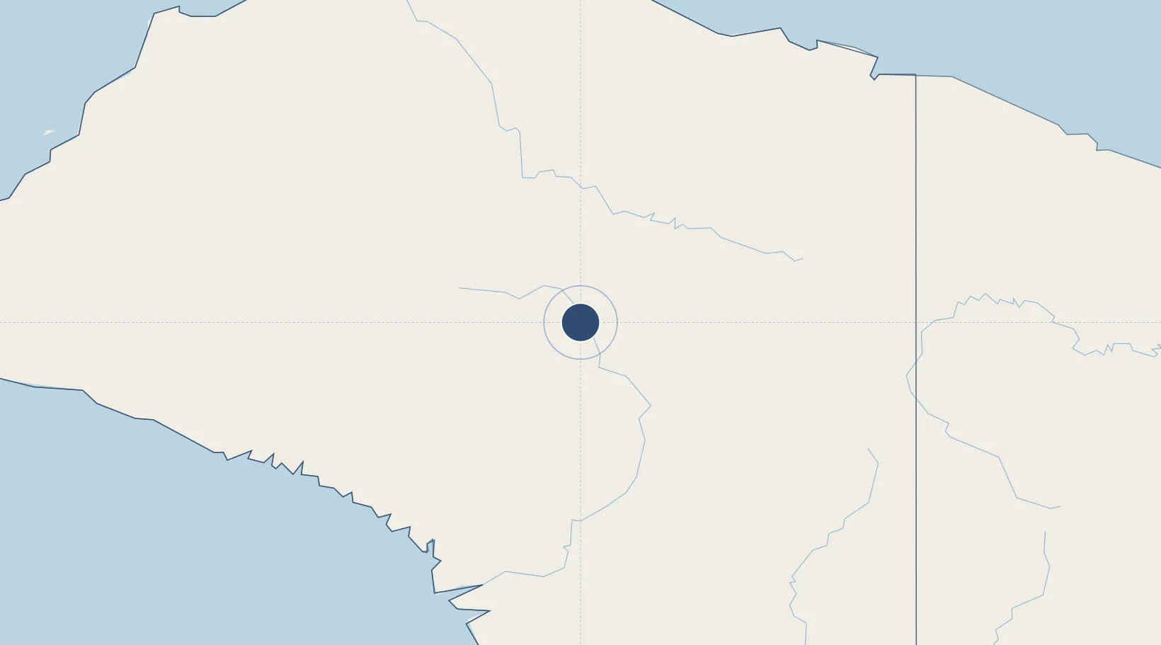
-4.0973°, 138.9524°
7,135 ft
Longest runway
1
Runways
5,435 ft
Elevation
Runway & Layout

Radio Frequencies
ATIS
127.2 MHz
Wamena ATIS
TWR
120 MHz
AFIS
120 MHz
INFO
Navaids
ZW NDB Wamena 222 kHz
Runways · 1
| Runway | Dimensions | Surface | True heading | Lit |
|---|---|---|---|---|
| 15/33 | 7,135 × 147ft | Asphalt | 153° | ✓ |
Airport Specifications
IATA code
WMX
ICAO code
WAVV
Airport class
Medium airport
Scheduled service
Yes
Runway surface
Asphalt
Served city
Wamena
Location
Nearby Logistics Neighbours
Airports
- 1Bokondini Airport55 km
- 2Nop Goliat Dekai Airport103 km
- 3Suntamon Airport157 km
- 4Alemson Airstrip162 km
- 5Kirimu Airstrip165 km
Cities
- 1Demta236 km
- 2Pomako255 km
- 3Jayapura, Irian Jaya261 km
- 4Timika276 km
- 5Kassue322 km
Ports
- 1Amamapare234 km
- 2Vanimo289 km
- 3Merauke513 km
- 4Wewak Harbor523 km
- 5Manokwari Road649 km
Trade Zones
DatabookThe Record of Consolidated Knowledge
Indonesia beyond logistics?