Small airport · Indonesia

Bokondini AirportWAJB
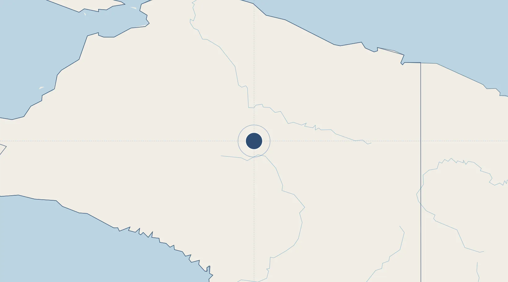
-3.6846°, 138.6774°
2,798 ft
Longest runway
1
Runways
4,550 ft
Elevation

Runway & Layout

Bokondini Airport runway & taxiway layout
Runway & taxiway layout — OpenStreetMap (ODbL) / OurAirports

Runways · 1

RunwayDimensions SurfaceTrue headingLit
10/28 2,798 × 75ft Asphalt
OurAirports

Airport Specifications

IATA code
BUI
OurAirports
ICAO code
WAVB
OurAirports
Airport class
Small airport
OurAirports
Scheduled service
Yes
OurAirports
Runway surface
Asphalt
OurAirports
Served city
Bokondini
OurAirports

Location

Location of WAJB
Natural Earth 10m (public domain) · Papua · WAJB · -3.68, 138.68GoogleOSMYandex

Nearby Logistics Neighbours

Airports
  1. 1Wamena Airport55 km
  2. 2Nop Goliat Dekai Airport158 km
  3. 3Bilorai Airport183 km
  4. 4Suntamon Airport208 km
  5. 5Kirimu Airstrip209 km
Nearest neighbours — logibook spatial index (haversine) over the source coordinates
Cities
  1. 1Demta221 km
  2. 2Pomako246 km
  3. 3Jayapura, Irian Jaya259 km
  4. 4Timika264 km
  5. 5Kassue372 km
Nearest neighbours — logibook spatial index (haversine) over the source coordinates
Ports
  1. 1Amamapare228 km
  2. 2Vanimo295 km
  3. 3Wewak Harbor550 km
  4. 4Merauke566 km
  5. 5Manokwari Road599 km
Nearest neighbours — logibook spatial index (haversine) over the source coordinates
Trade Zones
  1. 1Sandaun Special Economic Zone252 km
  2. 2Vanimo Special Economic Zone310 km
  3. 3Sepik Special Economic Zone332 km
  4. 4Western Province Special Economic Zone393 km
  5. 5Manus Special Economic Zone555 km
Nearest neighbours — logibook spatial index (haversine) over the source coordinates
DatabookThe Record of Consolidated Knowledge
Indonesia beyond logistics?
Browse databook

All Sources

AirportsOurAirports
Public domain
Portsthe NGA World Port Index
Public domain (US gov)
LocationsUN/LOCODE
UN/LOCODE — free
Trade Zonesthe World Bank SEZ database
CC BY 4.0
Trade ZonesOpen Zone Map
CC BY
InfrastructureOpenStreetMap
ODbL 1.0
← Indonesia airports