Transport Functions
Port
Airport
Hub Profile
Place type
District seat
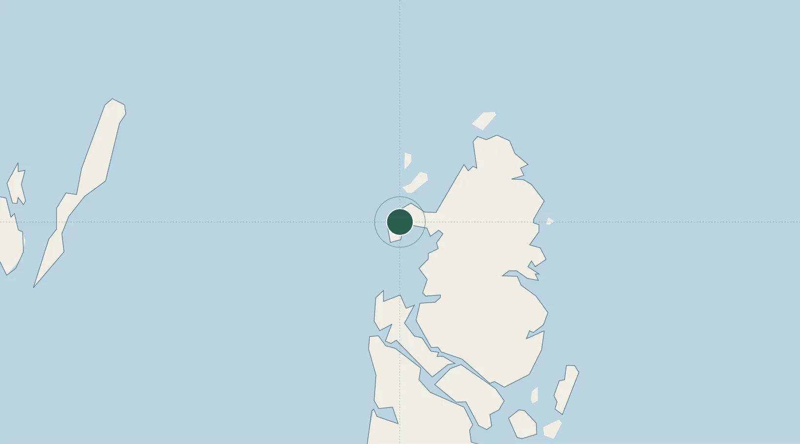
Region
Maluku
Population
52,104
Time zone
Asia/Jayapura
Elevation
5 m
Location
Nearby Logistics Neighbours
Ports
- 1Amamapare322 km
- 2Fakfak380 km
- 3Saumlaki407 km
- 4Bula507 km
- 5Manokwari Road543 km
Airports
- 1Karel Sadsuitubun Airport161 km
- 2Utarom Airport241 km
- 3Douw Aturure Airport292 km
- 4Old Nabire Airport300 km
- 5Mozes Kilangin Airport325 km
Trade Zones
- 1KEK Sorong620 km
- 2Western Province Special Economic Zone664 km
- 3Sandaun Special Economic Zone769 km
- 4Sepik Special Economic Zone844 km
- 5Vanimo Special Economic Zone854 km
DatabookThe Record of Consolidated Knowledge
Indonesia beyond logistics?