Transport Functions
Multimodal
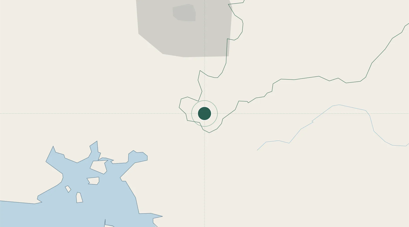
Hub Profile
Place type
Populated place
Region
El Paraíso Department
Time zone
America/Tegucigalpa
Elevation
579 m
Location
Nearby Logistics Neighbours
Cities
- 1San Lorenzo42 km
- 2El Tizatillo44 km
- 3El Zamorano47 km
- 4Monjarás53 km
- 5Totogalpa65 km
Ports
- 1Puerto De Hencan44 km
- 2La Union85 km
- 3Corinto124 km
- 4Puerto Sandino162 km
- 5La Ceiba245 km
Airports
Trade Zones
- 1ZEDE Orquídea35 km
- 2ZIP Amaratecas Free Zone71 km
- 3AJ Fernández Cigars, SA98 km
- 4Agroindustrias Chinandega, SA109 km
- 5Camarones de Nicaragua, SA117 km
DatabookThe Record of Consolidated Knowledge
Honduras beyond logistics?