Charter City · Honduras

ZEDE Orquídea Active
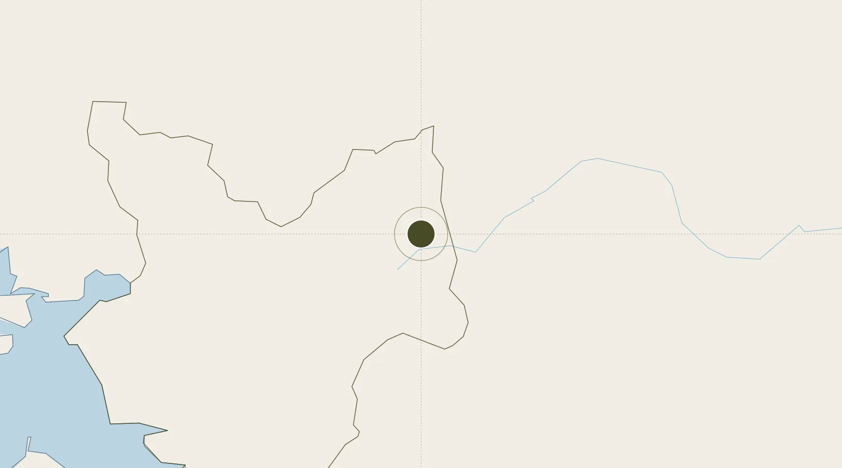
13.4915°, -86.7963°
160 ha
Zone area
71.4 km
Nearest port
77.9 km
Nearest airport

Gateway access

Nearest neighbours — logibook spatial index (haversine) over the source coordinates

Zone profile

Zone type
Charter City
Open Zone Map
Specialization
Agriculture
Open Zone Map
Region
Choluteca
Open Zone Map
Status
Active
Open Zone Map
Management
Private
Open Zone Map
Operator
AgroAlpha
Open Zone Map
Legal framework
ZEDE Orquídea Normative 1 Application of Civil and Commercial Law in ZEDE Orquídea
Open Zone Map

Location

Location of ozm-5322
Natural Earth 10m (public domain) · Choluteca · ozm-5322 · 13.49, -86.80GoogleOSMYandex

Nearby Logistics Neighbours

Ports
  1. 1Puerto De Hencan71 km
  2. 2La Union114 km
  3. 3Corinto119 km
  4. 4Puerto Sandino146 km
  5. 5La Ceiba255 km
Nearest neighbours — logibook spatial index (haversine) over the source coordinates
Airports
  1. 1Toncontín Airport78 km
  2. 2Palmerola International Airport133 km
  3. 3Augusto C. Sandino (Managua) International Airport165 km
  4. 4El Salvador International Airport Saint Óscar Arnulfo Romero y Galdámez244 km
  5. 5Omtepe Airport249 km
Nearest neighbours — logibook spatial index (haversine) over the source coordinates
Cities
  1. 1Totogalpa33 km
  2. 2La Paz35 km
  3. 3Ocotal37 km
  4. 4El Zamorano64 km
  5. 5El Tizatillo69 km
Nearest neighbours — logibook spatial index (haversine) over the source coordinates
Trade Zones
  1. 1AJ Fernández Cigars, SA64 km
  2. 2ZIP Amaratecas Free Zone97 km
  3. 3IAMSA Nicaragua,SA102 km
  4. 4Hortalizas Hidropónicas de Alta Tecnología, SA (HORTITECH)103 km
  5. 5Agroindustrias Chinandega, SA103 km
Nearest neighbours — logibook spatial index (haversine) over the source coordinates
DatabookThe Record of Consolidated Knowledge
Honduras beyond logistics?
Browse databook

All Sources

Trade ZonesOpen Zone Map
CC BY
Portsthe NGA World Port Index
Public domain (US gov)
AirportsOurAirports
Public domain
LocationsUN/LOCODE
UN/LOCODE — free
← Honduras trade zones