Transport Functions
Multimodal
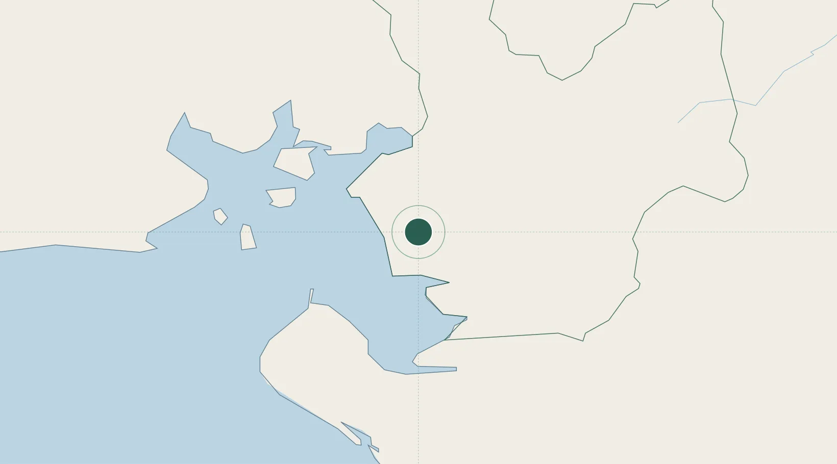
Hub Profile
Place type
Populated place
Region
Choluteca Department
Population
6,772
Time zone
America/Tegucigalpa
Elevation
14 m
Location
Nearby Logistics Neighbours
Cities
- 1San Lorenzo25 km
- 2Potosí27 km
- 3Cutuco50 km
- 4La Union51 km
- 5La Paz53 km
Ports
- 1Puerto De Hencan24 km
- 2La Union53 km
- 3Corinto83 km
- 4Puerto Sandino130 km
- 5Acajutla274 km
Airports
Trade Zones
DatabookThe Record of Consolidated Knowledge
Honduras beyond logistics?