Medium airport · El Salvador

Ilopango International AirportMSSS
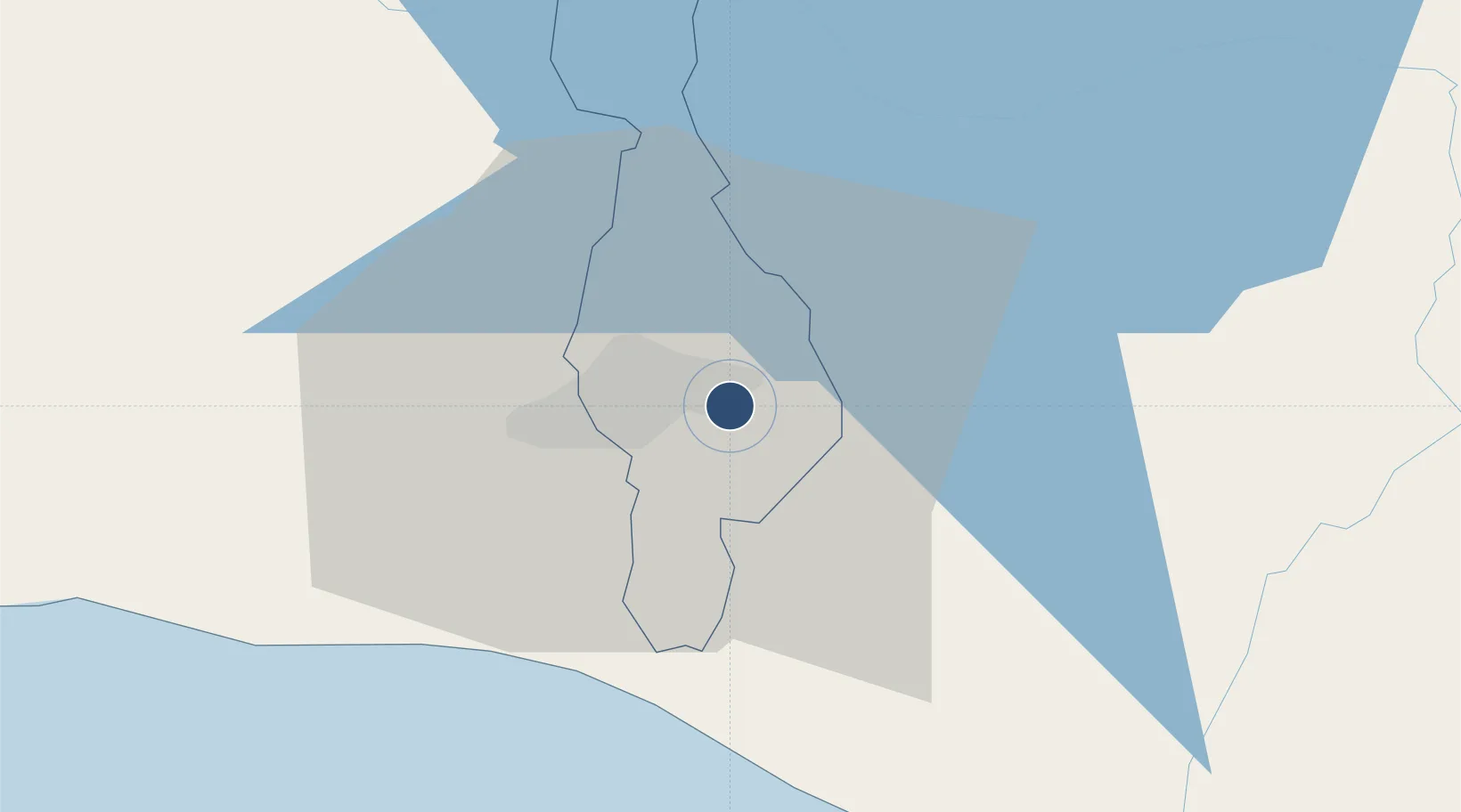
13.6995°, -89.1199°
7,349 ft
Longest runway
1
Runways
2,027 ft
Elevation

Runway & Layout

Ilopango International Airport runway & taxiway layout
Runway & taxiway layout — OpenStreetMap (ODbL) / OurAirports

Radio Frequencies

TWR
118.3 MHz
GND
121.9 MHz
APP
119.5 MHz
RDO
127.05 MHz
OurAirports

Navaids

YSV VOR-DME Ilopango 116.50 MHz
YSX NDB Ilopango 215 kHz
OurAirports

Runways · 1

RunwayDimensions SurfaceTrue headingLit
15/33 7,349 × 148ft Asphalt 154°
OurAirports

Airport Specifications

IATA code
ILS
OurAirports
ICAO code
MSSS
OurAirports
Airport class
Medium airport
OurAirports
Scheduled service
Yes
OurAirports
Runway surface
Asphalt
OurAirports
Served city
San Salvador
OurAirports

Location

Location of MSSS
Natural Earth 10m (public domain) · San Salvador · MSSS · 13.70, -89.12GoogleOSMYandex

Nearby Logistics Neighbours

Airports
  1. 1El Salvador International Airport Saint Óscar Arnulfo Romero y Galdámez29 km
  2. 2Palmerola International Airport179 km
  3. 3La Aurora International Airport181 km
  4. 4San José Airport187 km
  5. 5Toncontín Airport209 km
Nearest neighbours — logibook spatial index (haversine) over the source coordinates
Cities
  1. 1Ilopango2 km
  2. 2Soyapango3 km
  3. 3Ayutuxtepeque9 km
  4. 4Mejicanos9 km
  5. 5Apopa12 km
Nearest neighbours — logibook spatial index (haversine) over the source coordinates
Ports
  1. 1Acajutla82 km
  2. 2La Union145 km
  3. 3Puerto Quetzal183 km
  4. 4Puerto De Hencan184 km
  5. 5Santo Tomas De Castilla229 km
Nearest neighbours — logibook spatial index (haversine) over the source coordinates
Trade Zones
  1. 1Zona Franca San Bartolo1 km
  2. 2Zona Franca Santo Tomás6 km
  3. 3San Marcos Free Zone9 km
  4. 4El Pedregal Free Zone13 km
  5. 5Miramar Free Zone14 km
Nearest neighbours — logibook spatial index (haversine) over the source coordinates
DatabookThe Record of Consolidated Knowledge
El Salvador beyond logistics?
Browse databook

All Sources

AirportsOurAirports
Public domain
Portsthe NGA World Port Index
Public domain (US gov)
LocationsUN/LOCODE
UN/LOCODE — free
Trade Zonesthe World Bank SEZ database
CC BY 4.0
Trade ZonesOpen Zone Map
CC BY
InfrastructureOpenStreetMap
ODbL 1.0
← El Salvador airports