UN/LOCODE hub · Honduras
HNSLO
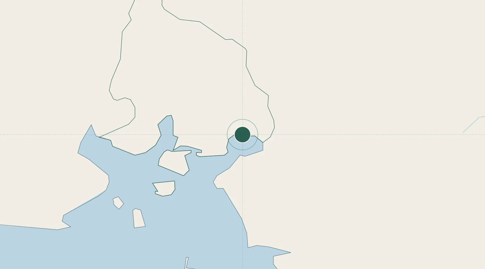
San Lorenzo
13.4142°, -87.4335°
22,289
Population
1
Transport functions
1
Container terminals
Transport Functions
Port
Hub Profile
Place type
Populated place
Region
Valle Department
Population
22,289
Time zone
America/Tegucigalpa
Elevation
16 m
Logistics facilities
4
Container terminals
1
Location
Nearby Logistics Neighbours
Ports
- 1La Union44 km
- 2Corinto108 km
- 3Puerto Sandino155 km
- 4Tela263 km
- 5Acajutla264 km
Airports
Trade Zones
- 1ZEDE Orquídea69 km
- 2ZIP Amaratecas Free Zone87 km
- 3Agroindustrias Chinandega, SA94 km
- 4Camarones de Nicaragua, SA106 km
- 5AJ Fernández Cigars, SA122 km
DatabookThe Record of Consolidated Knowledge
Honduras beyond logistics?