UN/LOCODE hub · El Salvador
SVLUN
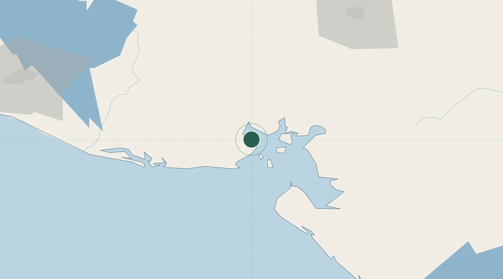
La Union
13.3342°, -87.8210°
26,807
Population
1
Transport functions
1
Container terminals
Transport Functions
Port
Hub Profile
Place type
Regional capital
Region
La Unión
Population
26,807
Time zone
America/El_Salvador
Elevation
10 m
Logistics facilities
2
Container terminals
1
Location
Nearby Logistics Neighbours
Cities
- 1Cutuco2 km
- 2San Lorenzo43 km
- 3Potosí51 km
- 4Monjarás51 km
- 5Chinameca60 km
Ports
- 1Puerto De Hencan41 km
- 2Corinto118 km
- 3Puerto Sandino172 km
- 4Acajutla223 km
- 5Tela275 km
Airports
Trade Zones
- 1ZIP Amaratecas Free Zone109 km
- 2Agroindustrias Chinandega, SA109 km
- 3ZEDE Orquídea112 km
- 4Camarones de Nicaragua, SA122 km
- 5Zona Franca Internacional142 km
DatabookThe Record of Consolidated Knowledge
El Salvador beyond logistics?