Seaport · Ghana
TemaGHTEM
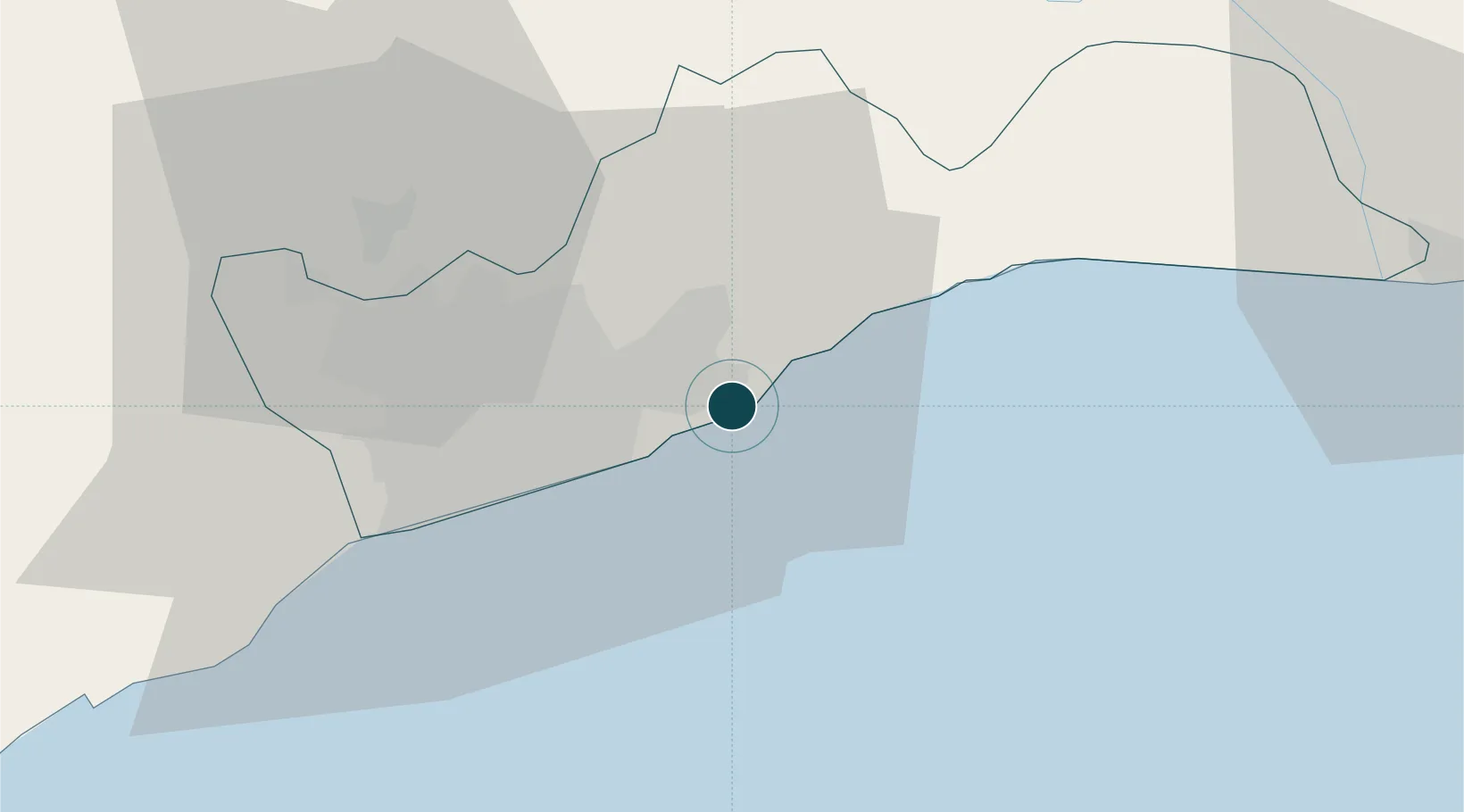
5.6319°, 0.0156°
12.5 m
Channel depth
3
Container terminals
325.2
Port liner connectivity
Channel & Berth Profile
Pilotage, Tugs & Services
Pilotage compulsoryYES
Pilotage availableYES
Pilotage advisableYES
Tug assistanceYES
Shore powerYES
Potable waterYES
Diesel bunkersYES
MedicalYES
Garbage disposalYES
Facilities & Capabilities
Container—
Ro-Ro—
Liquid bulk—
Dry bulk—
Oil terminal—
Break bulk—
Dry dockNO
RepairsNO
BunkeringYES
Rail linkYES
Dangerous cargo—
ISPS security—
Harbour Specifications
Harbour size
Small
Harbour type
Coastal (Breakwater)
Shelter
Good
Water body
Gulf of Guinea; North Atlantic Ocean
Tidal range
1.6 m
Pilotage
Yes
Liner Connectivity
325.2
PLSCI
Port Liner Shipping Connectivity Index for Tema, as published by UNCTAD for the latest available quarter. Higher values indicate stronger scheduled liner-shipping integration.
Shown relative to the highest per-port PLSCI in the dataset (1,657.9).
Location
Container Terminals · 3
TEMA PORT TERMINAL 3 (MPS)
MPS3 MERIDIAN PORT SERVICES LTD.
TEMA PORT TERMINAL 1 (GPHA)
TPT1 GHANA PORTS AND HARBOURS AUTHORITY (TEMA PORT)
TEMA PORT TERMINAL 2 (GPHA)
TPT2 GHANA PORTS AND HARBOURS AUTHORITY (TEMA PORT)
Nearby Logistics Neighbours
Cities
- 1Sakumono8 km
- 2Teshie14 km
- 3Tesano26 km
- 4Kokomlemle27 km
- 5Achimota28 km
Airports
- 1Kotoka International Airport20 km
- 2Ho Airport120 km
- 3Lomé–Tokoin International Airport149 km
- 4Takoradi Airport215 km
- 5Prempeh I International Airport215 km
Trade Zones
- 1Tema Export Processing Zone6 km
- 2Cape Coast ICT Park16 km
- 3Dawa Industrial Zone41 km
- 4Lomé-Togo Free Zone146 km
- 5Adétikopé Industrial Platform154 km
DatabookThe Record of Consolidated Knowledge
Ghana beyond logistics?