Seaport · Togo
LomeTGLFW
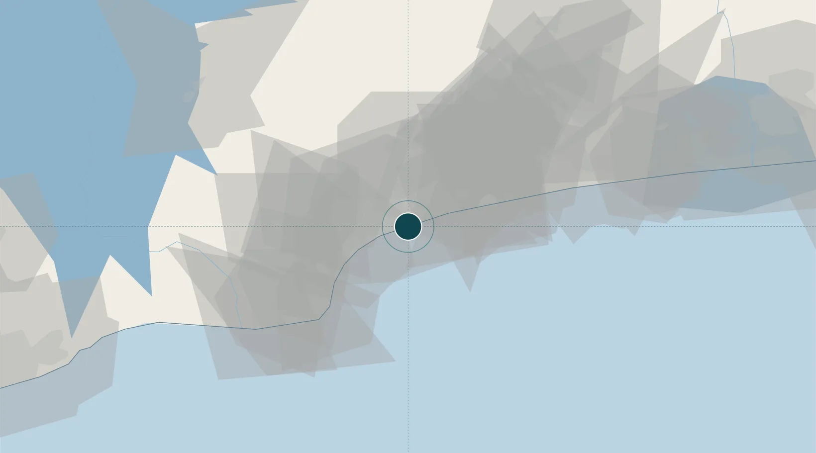
6.1333°, 1.2833°
14.5 m
Channel depth
2
Container terminals
291.3
Port liner connectivity
Channel & Berth Profile
Pilotage, Tugs & Services
Pilotage compulsoryYES
Pilotage availableYES
Tug assistanceYES
Shore powerNO
Potable waterYES
Diesel bunkersYES
MedicalYES
Garbage disposalYES
Facilities & Capabilities
Container—
Ro-Ro—
Liquid bulk—
Dry bulk—
Oil terminal—
Break bulk—
Dry dockNO
RepairsNO
BunkeringYES
Rail linkYES
Dangerous cargo—
ISPS security—
Harbour Specifications
Harbour size
Medium
Harbour type
Coastal (Breakwater)
Shelter
Good
Water body
Bight of Benin; Gulf of Guinea; North Atlantic Ocean
Tidal range
1.2 m
Pilotage
Yes
Liner Connectivity
291.3
PLSCI
Port Liner Shipping Connectivity Index for Lome, as published by UNCTAD for the latest available quarter. Higher values indicate stronger scheduled liner-shipping integration.
Shown relative to the highest per-port PLSCI in the dataset (1,657.9).
Location
Container Terminals · 2
LOME CONTAINER TERMINAL (LCT)
LCT TERMINAL INVESTMENT LTD. (TIL) / CHINA MERCHANT INTERNATIONAL HOLDING
TOGO TERMINAL
TTE BOLLORE PORTS
Nearby Logistics Neighbours
Ports
- 1Kpeme27 km
- 2Cotonou129 km
- 3Tema151 km
- 4Tin Can Island230 km
- 5Lagos236 km
Cities
- 1Ablogamé4 km
- 2Adéti-Kopé26 km
- 3Aného37 km
- 4Cotonou121 km
- 5Bohicon147 km
Airports
Trade Zones
DatabookThe Record of Consolidated Knowledge
Togo beyond logistics?