Transport Functions
Multimodal
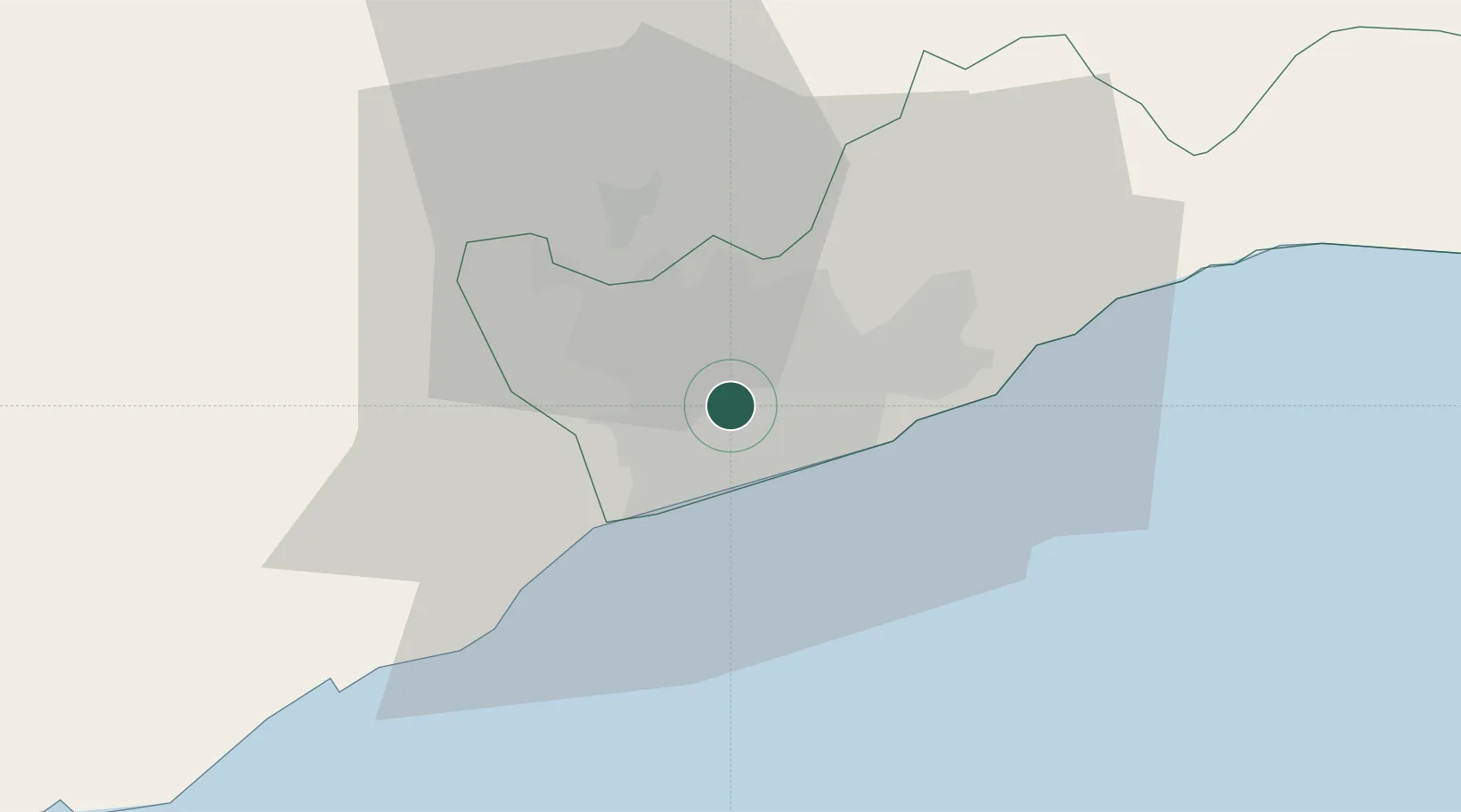
Hub Profile
Place type
Urban district
Region
Greater Accra
Time zone
Africa/Accra
Elevation
26 m
Location
Nearby Logistics Neighbours
Cities
- 1Tesano3 km
- 2Kokomlemle6 km
- 3Amasaman12 km
- 4Ashaiman14 km
- 5Teshie15 km
Airports
- 1Kotoka International Airport8 km
- 2Ho Airport137 km
- 3Lomé–Tokoin International Airport176 km
- 4Takoradi Airport189 km
- 5Prempeh I International Airport194 km
Trade Zones
- 1Tema Export Processing Zone28 km
- 2Cape Coast ICT Park39 km
- 3Dawa Industrial Zone65 km
- 4Lomé-Togo Free Zone172 km
- 5Ashanti Technology Park177 km
DatabookThe Record of Consolidated Knowledge
Ghana beyond logistics?