Large airport · Ghana
Prempeh I International AirportDGSI
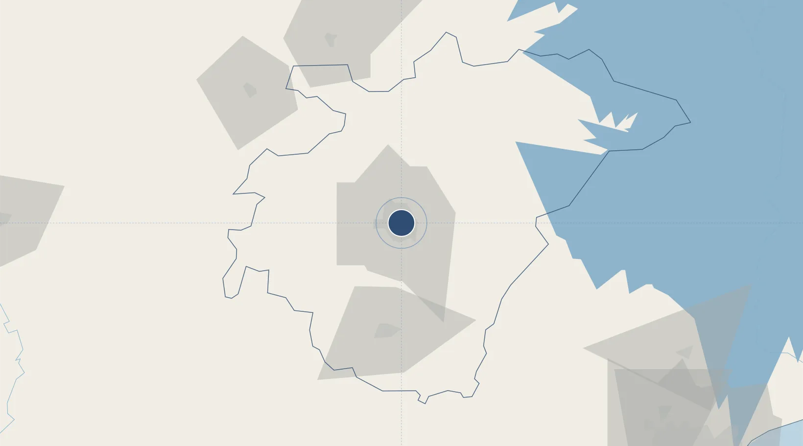
6.7146°, -1.5908°
7,612 ft
Longest runway
1
Runways
942 ft
Elevation
Runway & Layout

Radio Frequencies
TWR
118.1 MHz
A/G
658.6 MHz
A/G VOICE RDO
Navaids
KL NDB Kumasi 271 kHz
KSI VOR-DME Kumasi 113.90 MHz
Runways · 1
| Runway | Dimensions | Surface | True heading | Lit |
|---|---|---|---|---|
| 02/20 | 7,612 × 148ft | Asphalt | 012° | ✓ |
Airport Specifications
IATA code
KMS
ICAO code
DGSI
Airport class
Large airport
Scheduled service
Yes
Runway surface
Asphalt
Served city
Kumasi
Location
Nearby Logistics Neighbours
Airports
- 1Sunyani Airport109 km
- 2Kotoka International Airport200 km
- 3Takoradi Airport203 km
- 4Ho Airport235 km
- 5Félix-Houphouët-Boigny International Airport305 km
Ports
- 1Saltpond179 km
- 2Sekondi197 km
- 3Takoradi204 km
- 4Tema215 km
- 5Port Bouet310 km
Trade Zones
- 1Ashanti Technology Park21 km
- 2Shama Export Processing Zone203 km
- 3Sekondi Export Processing Zone203 km
- 4Tema Export Processing Zone211 km
- 5Cape Coast ICT Park215 km
DatabookThe Record of Consolidated Knowledge
Ghana beyond logistics?