Specialized Zone · Ghana

Cape Coast ICT Park Inactive
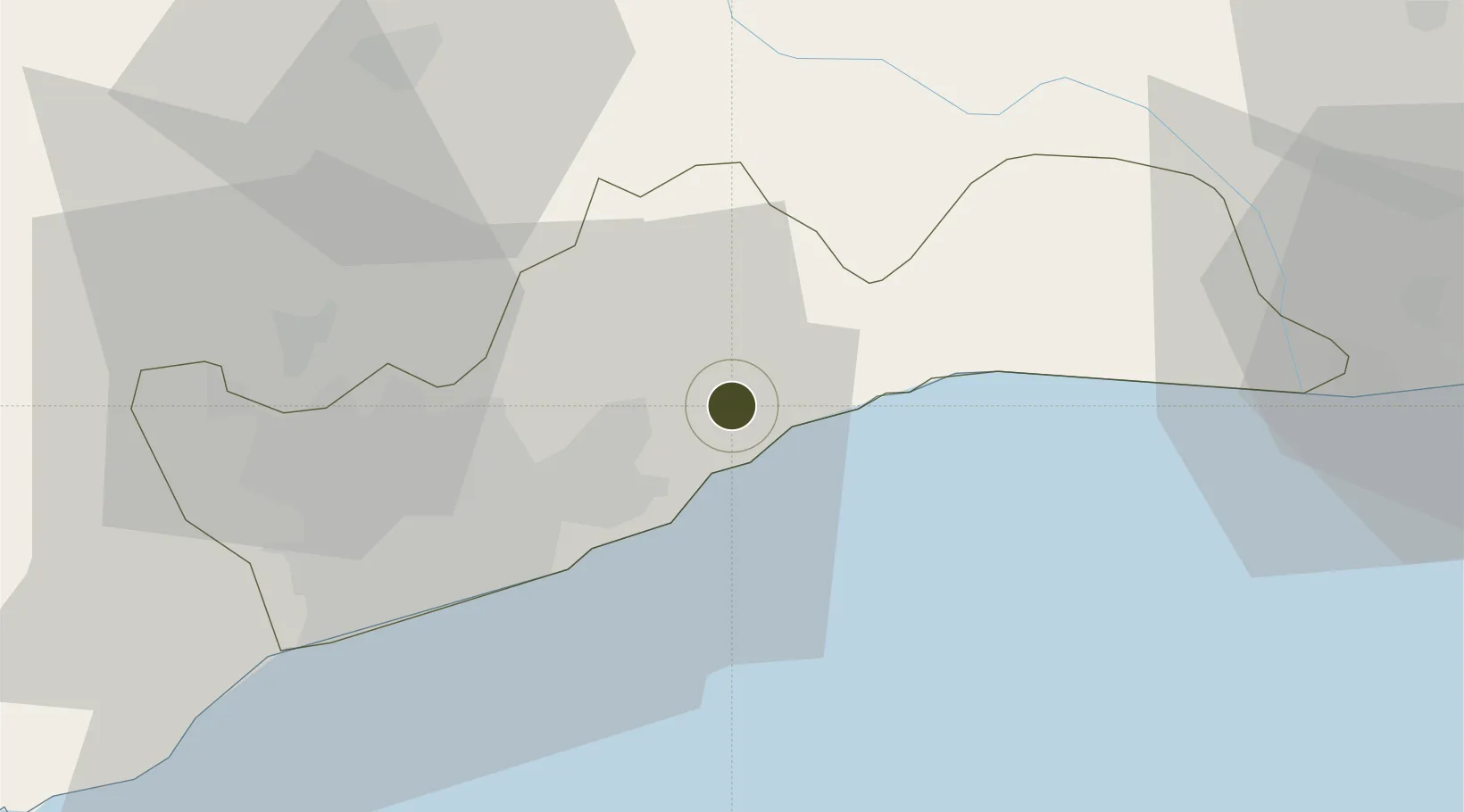
5.7461°, 0.0964°
7 ha
Zone area
15.5 km
Nearest port
33.1 km
Nearest airport

Gateway access

Nearest neighbours — logibook spatial index (haversine) over the source coordinates

Zone profile

Zone type
Specialized Zone
Open Zone Map
Specialization
IT
Open Zone Map
Region
Greater Accra
Open Zone Map
Status
Inactive
Open Zone Map
Management
Public
Open Zone Map
Operator
Ministry of Communications
Open Zone Map
Legal framework
Ghana Free Zone Act of 1995
Open Zone Map

Location

Location of ozm-2050
Natural Earth 10m (public domain) · Greater Accra · ozm-2050 · 5.75, 0.10GoogleOSMYandex

Nearby Logistics Neighbours

Ports
  1. 1Tema16 km
  2. 2Lome138 km
  3. 3Saltpond141 km
  4. 4Kpeme165 km
  5. 5Sekondi218 km
Nearest neighbours — logibook spatial index (haversine) over the source coordinates
Airports
  1. 1Kotoka International Airport33 km
  2. 2Ho Airport105 km
  3. 3Lomé–Tokoin International Airport136 km
  4. 4Prempeh I International Airport215 km
  5. 5Takoradi Airport228 km
Nearest neighbours — logibook spatial index (haversine) over the source coordinates
Cities
  1. 1Tema16 km
  2. 2Sakumono22 km
  3. 3Teshie28 km
  4. 4Tesano38 km
  5. 5Achimota39 km
Nearest neighbours — logibook spatial index (haversine) over the source coordinates
Trade Zones
  1. 1Tema Export Processing Zone12 km
  2. 2Dawa Industrial Zone26 km
  3. 3Lomé-Togo Free Zone133 km
  4. 4Adétikopé Industrial Platform140 km
  5. 5Ashanti Technology Park197 km
Nearest neighbours — logibook spatial index (haversine) over the source coordinates
DatabookThe Record of Consolidated Knowledge
Ghana beyond logistics?
Browse databook

All Sources

Trade ZonesOpen Zone Map
CC BY
Portsthe NGA World Port Index
Public domain (US gov)
AirportsOurAirports
Public domain
LocationsUN/LOCODE
UN/LOCODE — free
← Ghana trade zones