Export Processing Zone · Ghana

Dawa Industrial Zone Under Development
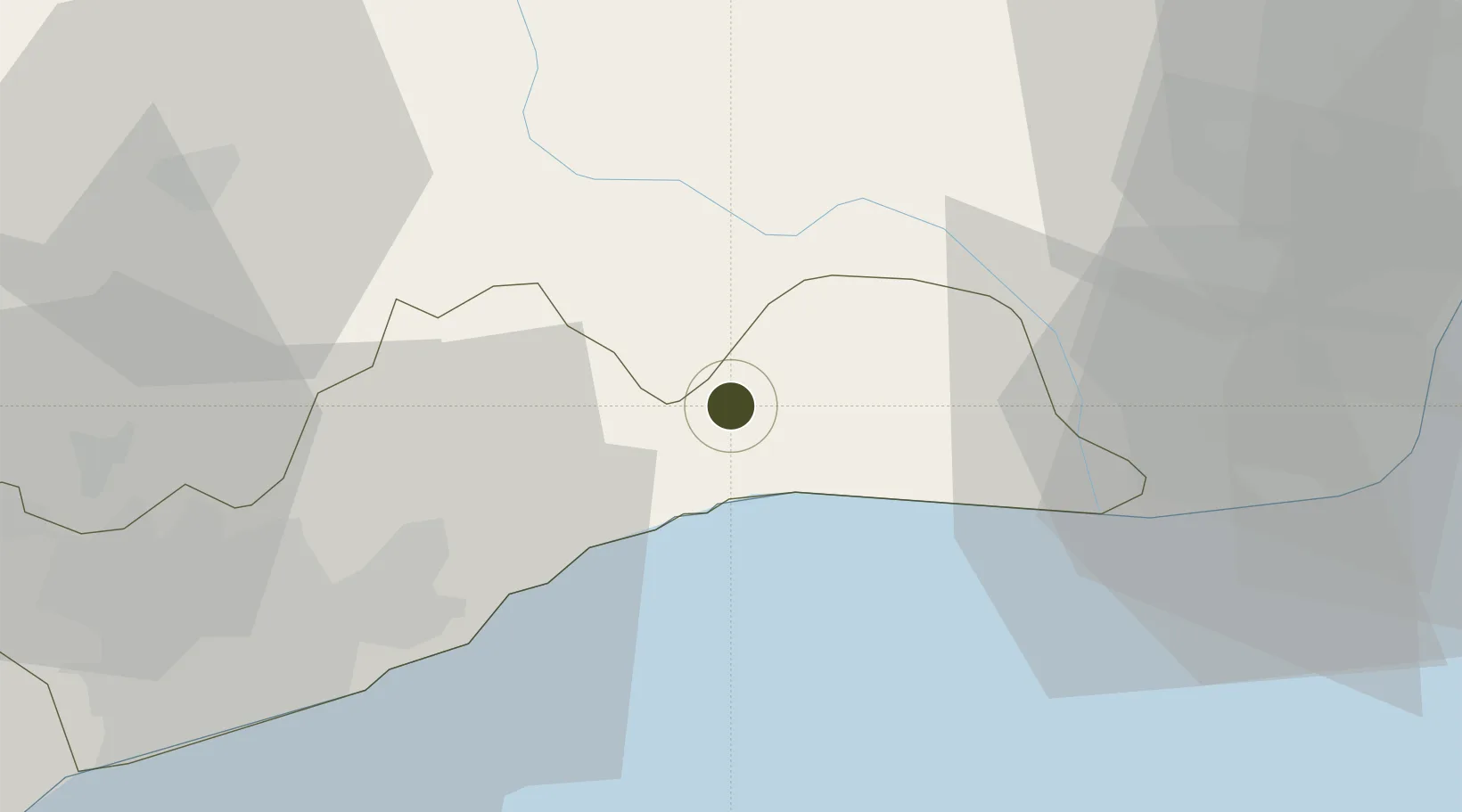
5.8680°, 0.2999°
930 ha
Zone area
41.0 km
Nearest port
59.3 km
Nearest airport

Gateway access

Nearest neighbours — logibook spatial index (haversine) over the source coordinates

Zone profile

Zone type
Export Processing Zone
Open Zone Map
Region
Greater Accra
Open Zone Map
Status
Under Development
Open Zone Map
Management
Private
Open Zone Map
Operator
LMI Holdings
Open Zone Map
Legal framework
Ghana Free Zone Act of 1995
Open Zone Map

Location

Location of ozm-2048
Natural Earth 10m (public domain) · Greater Accra · ozm-2048 · 5.87, 0.30GoogleOSMYandex

Nearby Logistics Neighbours

Ports
  1. 1Tema41 km
  2. 2Lome113 km
  3. 3Kpeme140 km
  4. 4Saltpond167 km
  5. 5Cotonou242 km
Nearest neighbours — logibook spatial index (haversine) over the source coordinates
Airports
  1. 1Kotoka International Airport59 km
  2. 2Ho Airport83 km
  3. 3Lomé–Tokoin International Airport111 km
  4. 4Prempeh I International Airport229 km
  5. 5Cotonou Cadjehoun International Airport237 km
Nearest neighbours — logibook spatial index (haversine) over the source coordinates
Cities
  1. 1Tema42 km
  2. 2Sakumono48 km
  3. 3Teshie54 km
  4. 4Tesano65 km
  5. 5Achimota65 km
Nearest neighbours — logibook spatial index (haversine) over the source coordinates
Trade Zones
  1. 1Cape Coast ICT Park26 km
  2. 2Tema Export Processing Zone38 km
  3. 3Lomé-Togo Free Zone107 km
  4. 4Adétikopé Industrial Platform114 km
  5. 5Ashanti Technology Park210 km
Nearest neighbours — logibook spatial index (haversine) over the source coordinates
DatabookThe Record of Consolidated Knowledge
Ghana beyond logistics?
Browse databook

All Sources

Trade ZonesOpen Zone Map
CC BY
Portsthe NGA World Port Index
Public domain (US gov)
AirportsOurAirports
Public domain
LocationsUN/LOCODE
UN/LOCODE — free
← Ghana trade zones