Medium airport · Ghana
Ho AirportDGAH
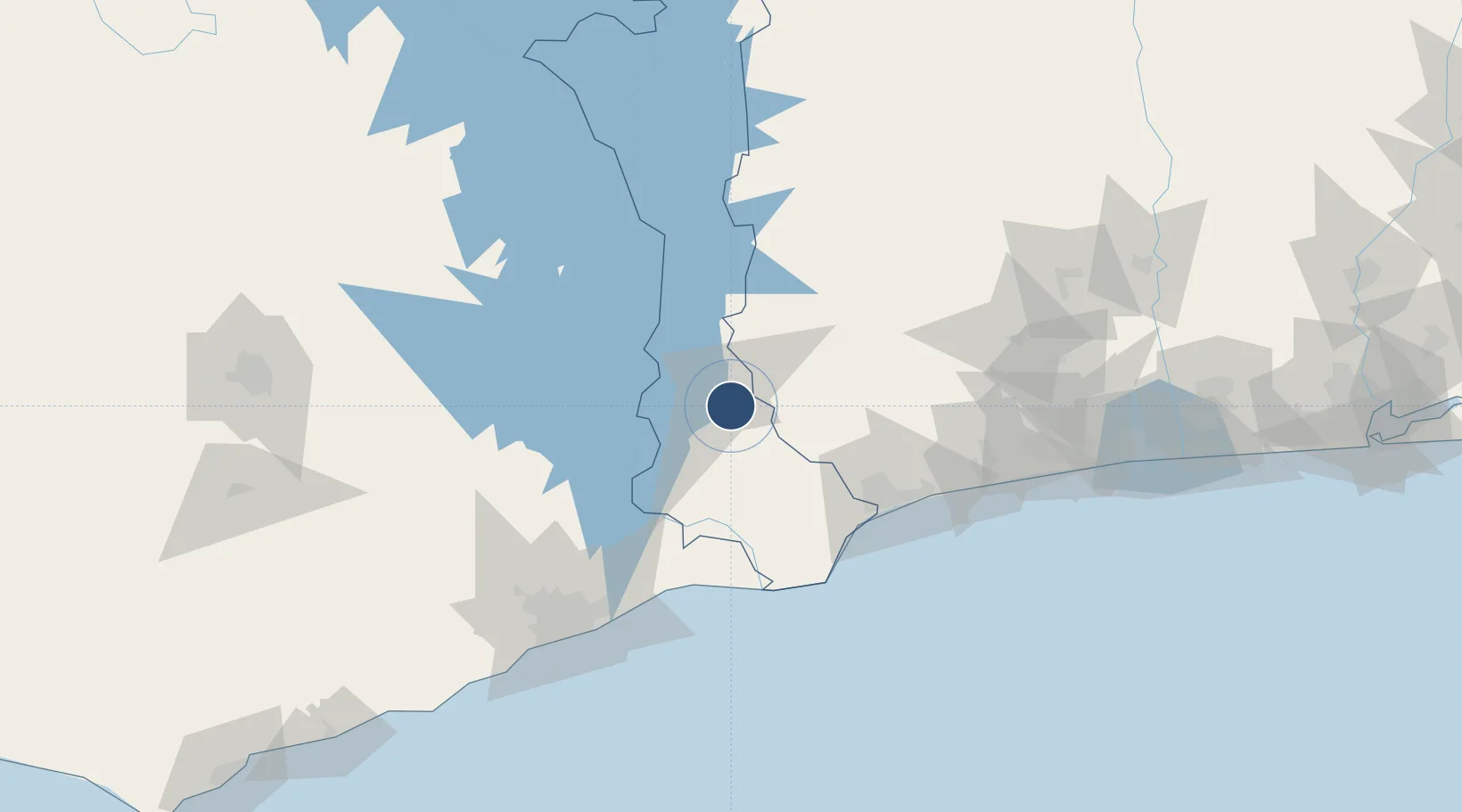
6.5797°, 0.5325°
5,266 ft
Longest runway
1
Runways
356 ft
Elevation
Runway & Layout

Radio Frequencies
TWR
118.4 MHz
Runways · 1
| Runway | Dimensions | Surface | True heading | Lit |
|---|---|---|---|---|
| 5/23 | 5,266 × 100ft | Asphalt | — | — |
Airport Specifications
ICAO code
DGAH
Airport class
Medium airport
Scheduled service
Yes
Runway surface
Asphalt
Served city
Ho
Location
Nearby Logistics Neighbours
Airports
Cities
- 1Adéti-Kopé78 km
- 2Ablogamé94 km
- 3Lome96 km
- 4Koforidua103 km
- 5Jumapo104 km
Trade Zones
- 1Adétikopé Industrial Platform81 km
- 2Dawa Industrial Zone83 km
- 3Lomé-Togo Free Zone86 km
- 4Cape Coast ICT Park105 km
- 5Tema Export Processing Zone115 km
DatabookThe Record of Consolidated Knowledge
Ghana beyond logistics?