Transport Functions
Rail
Road
Hub Profile
Region
AA
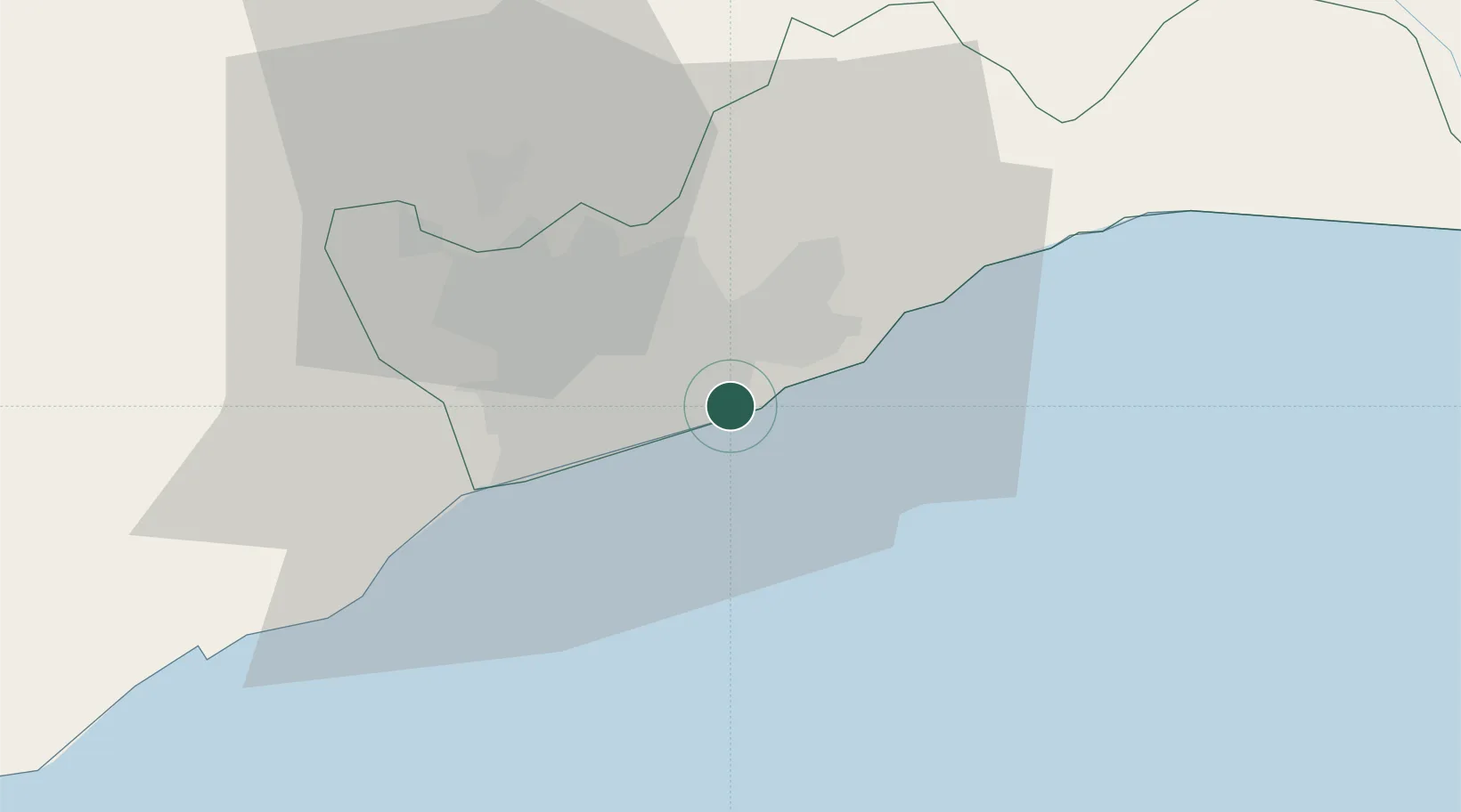
Location
Nearby Logistics Neighbours
Cities
- 1Sakumono7 km
- 2Tema13 km
- 3Tesano13 km
- 4Kokomlemle13 km
- 5Achimota15 km
Airports
- 1Kotoka International Airport8 km
- 2Ho Airport131 km
- 3Lomé–Tokoin International Airport163 km
- 4Takoradi Airport201 km
- 5Prempeh I International Airport207 km
Trade Zones
- 1Tema Export Processing Zone17 km
- 2Cape Coast ICT Park28 km
- 3Dawa Industrial Zone54 km
- 4Lomé-Togo Free Zone160 km
- 5Adétikopé Industrial Platform168 km
DatabookThe Record of Consolidated Knowledge
Ghana beyond logistics?