Free Zone · Ghana

Tema Export Processing Zone Active
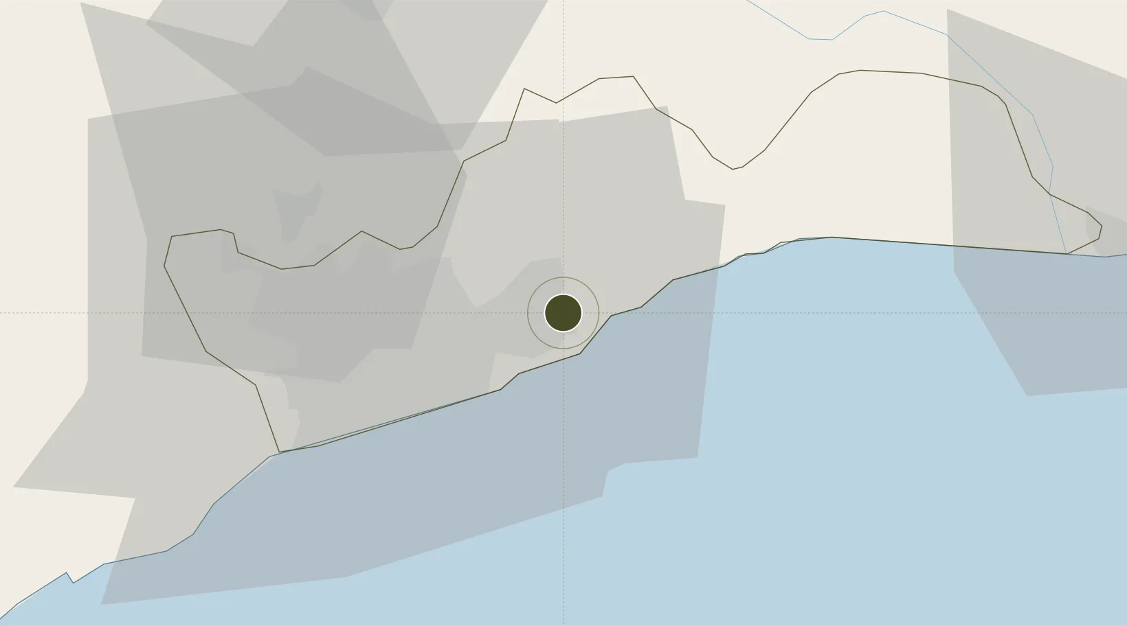
5.6815°, 0.0132°
480 ha
Zone area
5.5 km
Nearest port
21.6 km
Nearest airport

Gateway access

Nearest neighbours — logibook spatial index (haversine) over the source coordinates

Zone profile

Zone type
Free Zone
the World Bank SEZ database
Region
Greater Accra
the World Bank SEZ database
Status
Active
the World Bank SEZ database
Established
2001
the World Bank SEZ database
Management
Public agency
the World Bank SEZ database
Operator
Ghana Free Zones Board
the World Bank SEZ database
Regulatory authority
Ghana Free Zones Board Authority (GFZBA)
the World Bank SEZ database
Legal framework
Ghana Free Zones Act
the World Bank SEZ database

Location

Location of GHA1
Natural Earth 10m (public domain) · Greater Accra · GHA1 · 5.68, 0.01GoogleOSMYandex

Fiscal & incentives

Corporate tax
25%
the World Bank SEZ database
Tax relief
100% exempt
the World Bank SEZ database
Relief duration
10 years
the World Bank SEZ database
VAT
No exemption
the World Bank SEZ database
Import duty (inputs)
100% exempt
the World Bank SEZ database
Import duty (capex)
100% exempt
the World Bank SEZ database
Profit repatriation
100% exempt from repatriation tax on dividends, note profit, foreign loan servicing, and technology transfer
the World Bank SEZ database
Capital gains
No exemption
the World Bank SEZ database
Withholding tax
100% exempt from personal income tax for foreign employees and tax on dividends
the World Bank SEZ database
Min. investment
None
the World Bank SEZ database
Min. export
70%
the World Bank SEZ database
Employment incentive
No exemption
the World Bank SEZ database
Developer incentive
Yes
the World Bank SEZ database

Nearby Logistics Neighbours

Ports
  1. 1Tema6 km
  2. 2Saltpond129 km
  3. 3Lome149 km
  4. 4Kpeme176 km
  5. 5Sekondi206 km
Nearest neighbours — logibook spatial index (haversine) over the source coordinates
Airports
  1. 1Kotoka International Airport22 km
  2. 2Ho Airport115 km
  3. 3Lomé–Tokoin International Airport148 km
  4. 4Prempeh I International Airport211 km
  5. 5Takoradi Airport216 km
Nearest neighbours — logibook spatial index (haversine) over the source coordinates
Cities
  1. 1Tema5 km
  2. 2Sakumono10 km
  3. 3Teshie17 km
  4. 4Tesano27 km
  5. 5Achimota28 km
Nearest neighbours — logibook spatial index (haversine) over the source coordinates
Trade Zones
  1. 1Cape Coast ICT Park12 km
  2. 2Dawa Industrial Zone38 km
  3. 3Lomé-Togo Free Zone144 km
  4. 4Adétikopé Industrial Platform152 km
  5. 5Ashanti Technology Park193 km
Nearest neighbours — logibook spatial index (haversine) over the source coordinates
DatabookThe Record of Consolidated Knowledge
Ghana beyond logistics?
Browse databook

All Sources

Trade Zonesthe World Bank SEZ database
CC BY 4.0
Portsthe NGA World Port Index
Public domain (US gov)
AirportsOurAirports
Public domain
LocationsUN/LOCODE
UN/LOCODE — free
← Ghana trade zones