Transport Functions
Multimodal
Hub Profile
Place type
Urban district
Region
Greater Accra
Time zone
Africa/Accra
Elevation
27 m
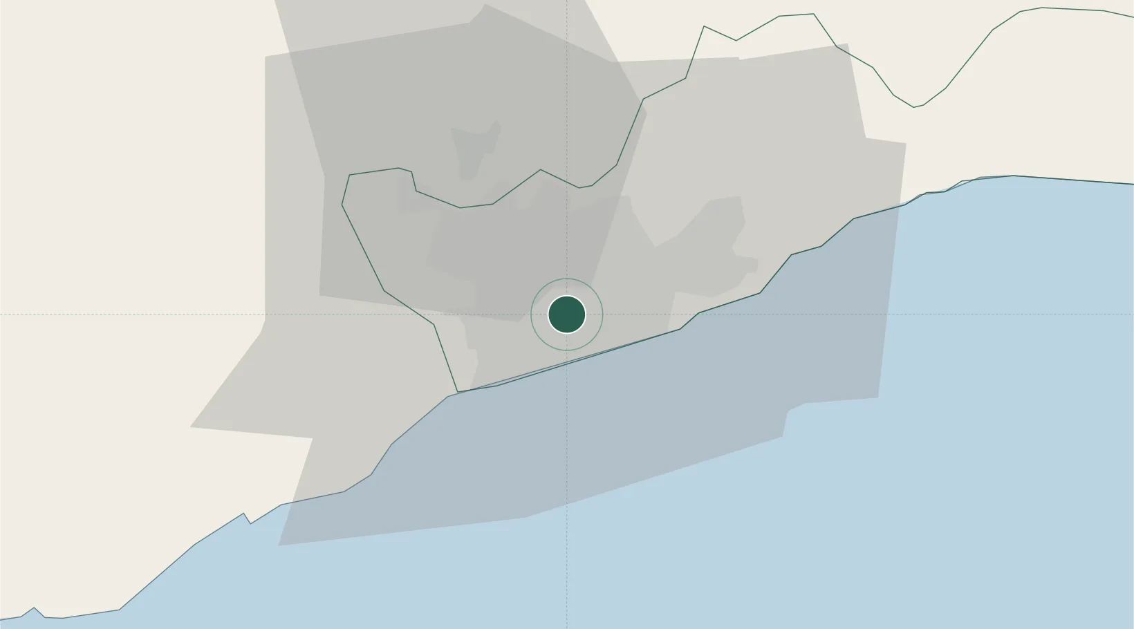
Location
Nearby Logistics Neighbours
Cities
- 1Achimota3 km
- 2Kokomlemle4 km
- 3Teshie13 km
- 4Amasaman14 km
- 5Ashaiman17 km
Airports
- 1Kotoka International Airport6 km
- 2Ho Airport137 km
- 3Lomé–Tokoin International Airport175 km
- 4Takoradi Airport190 km
- 5Prempeh I International Airport196 km
Trade Zones
- 1Tema Export Processing Zone27 km
- 2Cape Coast ICT Park38 km
- 3Dawa Industrial Zone65 km
- 4Lomé-Togo Free Zone171 km
- 5Adétikopé Industrial Platform179 km
DatabookThe Record of Consolidated Knowledge
Ghana beyond logistics?