UN/LOCODE hub · Ghana
GHTEM
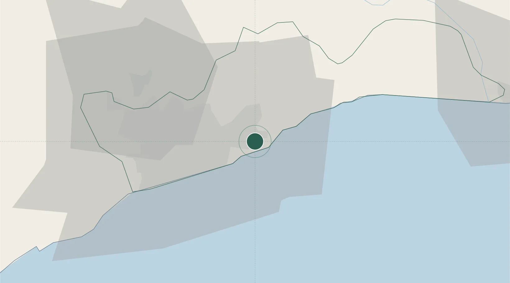
Tema
5.6452°, -0.0044°
155,782
Population
1
Transport functions
3
Container terminals
Transport Functions
Port
Hub Profile
Place type
Populated place
Region
Greater Accra
Population
155,782
Time zone
Africa/Accra
Elevation
27 m
Logistics facilities
44
Container terminals
3
Location
Nearby Logistics Neighbours
Cities
- 1Sakumono6 km
- 2Teshie13 km
- 3Tesano24 km
- 4Kokomlemle25 km
- 5Achimota26 km
Airports
- 1Kotoka International Airport19 km
- 2Ho Airport120 km
- 3Lomé–Tokoin International Airport151 km
- 4Prempeh I International Airport212 km
- 5Takoradi Airport213 km
Trade Zones
- 1Tema Export Processing Zone5 km
- 2Cape Coast ICT Park16 km
- 3Dawa Industrial Zone42 km
- 4Lomé-Togo Free Zone147 km
- 5Adétikopé Industrial Platform156 km
DatabookThe Record of Consolidated Knowledge
Ghana beyond logistics?