Transport Functions
Multimodal
Hub Profile
Place type
Urban district
Region
Greater Accra
Time zone
Africa/Accra
Elevation
25 m
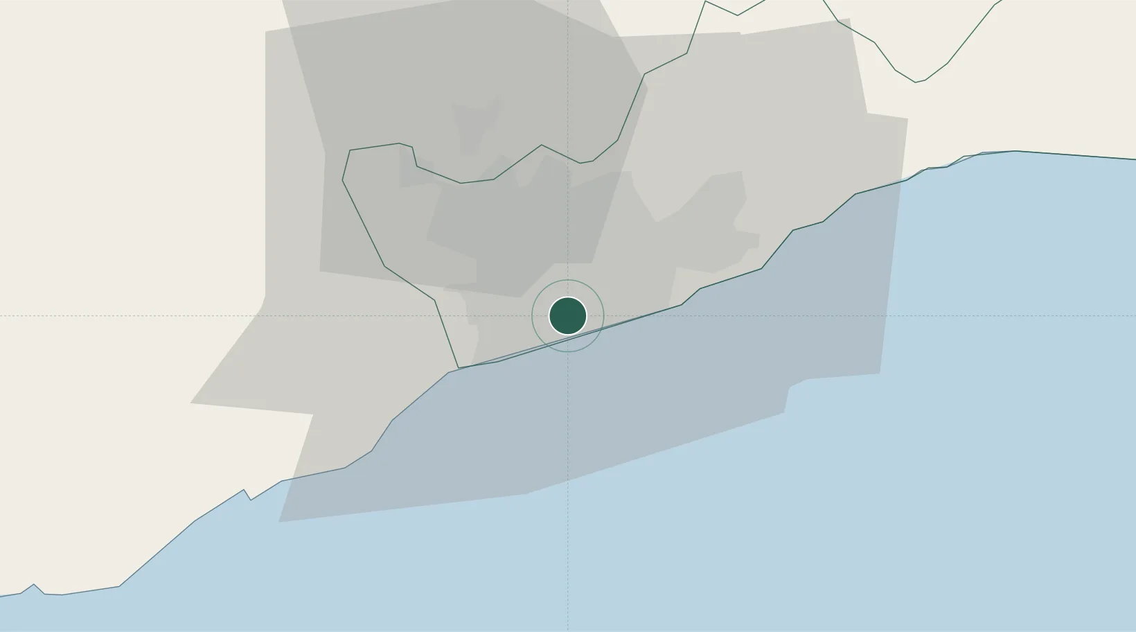
Location
Nearby Logistics Neighbours
Airports
- 1Kotoka International Airport7 km
- 2Ho Airport140 km
- 3Lomé–Tokoin International Airport176 km
- 4Takoradi Airport188 km
- 5Prempeh I International Airport198 km
Trade Zones
- 1Tema Export Processing Zone29 km
- 2Cape Coast ICT Park40 km
- 3Dawa Industrial Zone66 km
- 4Lomé-Togo Free Zone172 km
- 5Adétikopé Industrial Platform180 km
DatabookThe Record of Consolidated Knowledge
Ghana beyond logistics?