Free Trade Zone · Togo

Lomé-Togo Free Zone Active
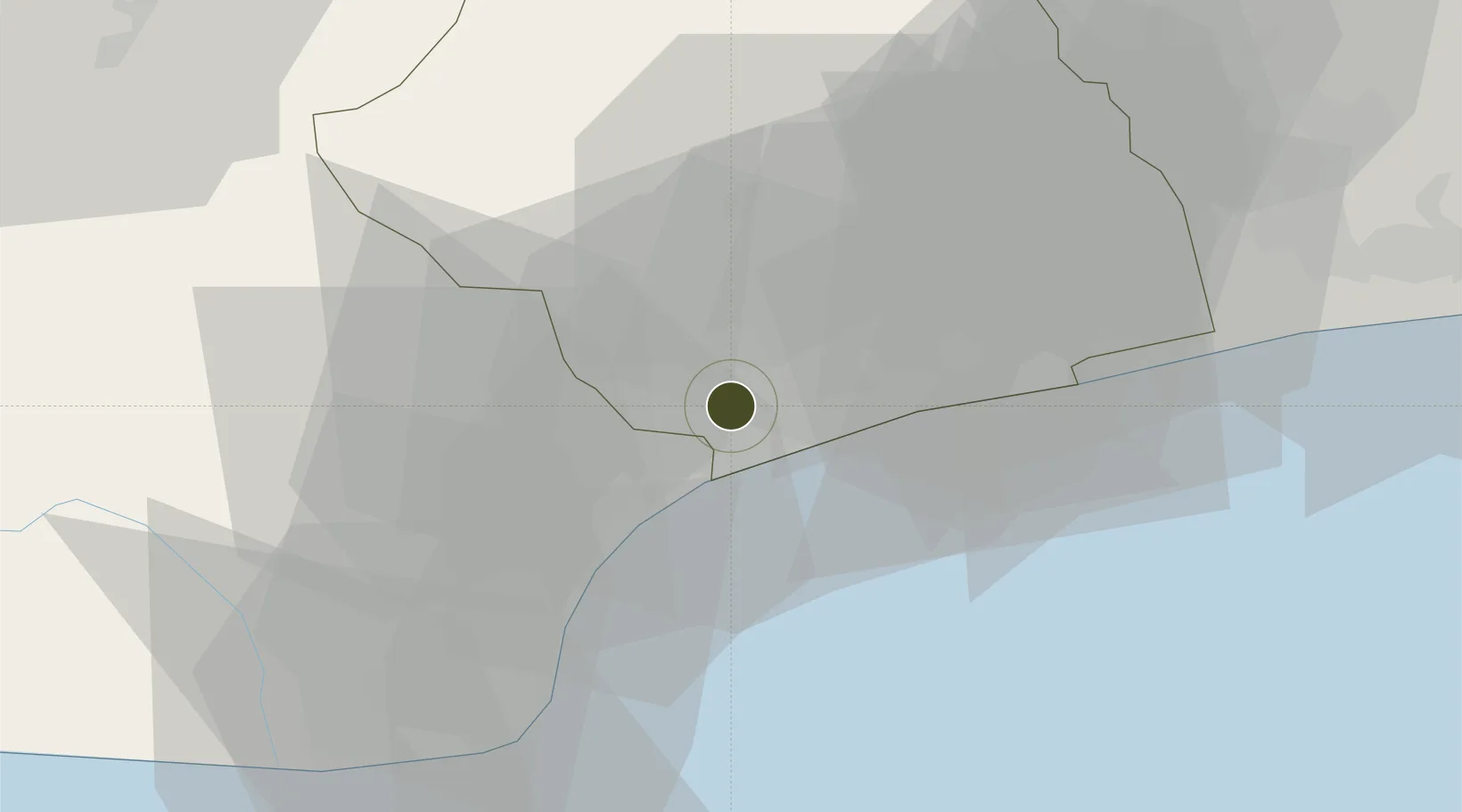
6.1884°, 1.2086°
144 ha
Zone area
10.3 km
Nearest port
5.7 km
Nearest airport

Gateway access

Nearest neighbours — logibook spatial index (haversine) over the source coordinates

Zone profile

Zone type
Free Trade Zone
Open Zone Map
Region
Maritime
Open Zone Map
Status
Active
Open Zone Map
Management
Public-Private Partnership
Open Zone Map
Operator
La Société d'Administration des Zones Franches
Open Zone Map
Legal framework
Law No. 2011-018 on Free Industiral Zones
Open Zone Map

Location

Location of ozm-4513
Natural Earth 10m (public domain) · Maritime · ozm-4513 · 6.19, 1.21GoogleOSMYandex

Nearby Logistics Neighbours

Ports
  1. 1Lome10 km
  2. 2Kpeme34 km
  3. 3Cotonou137 km
  4. 4Tema146 km
  5. 5Tin Can Island237 km
Nearest neighbours — logibook spatial index (haversine) over the source coordinates
Airports
  1. 1Lomé–Tokoin International Airport6 km
  2. 2Ho Airport86 km
  3. 3Cotonou Cadjehoun International Airport131 km
  4. 4Kotoka International Airport165 km
  5. 5Murtala Muhammed International Airport237 km
Nearest neighbours — logibook spatial index (haversine) over the source coordinates
Cities
  1. 1Ablogamé8 km
  2. 2Lome9 km
  3. 3Adéti-Kopé18 km
  4. 4Aného44 km
  5. 5Cotonou128 km
Nearest neighbours — logibook spatial index (haversine) over the source coordinates
Trade Zones
  1. 1Adétikopé Industrial Platform16 km
  2. 2Dawa Industrial Zone107 km
  3. 3Allada Special Agro-Industrial Zone119 km
  4. 4Glo-Djigbé Special Economic Zone126 km
  5. 5Cape Coast ICT Park133 km
Nearest neighbours — logibook spatial index (haversine) over the source coordinates
DatabookThe Record of Consolidated Knowledge
Togo beyond logistics?
Browse databook

All Sources

Trade ZonesOpen Zone Map
CC BY
Portsthe NGA World Port Index
Public domain (US gov)
AirportsOurAirports
Public domain
LocationsUN/LOCODE
UN/LOCODE — free
← Togo trade zones