UN/LOCODE hub · Ghana
GHSKM

Sakumono

5.6167°, -0.0500°
1
Transport functions

Transport Functions

Multimodal
UN/LOCODE

Location

Location of GHSKM
Natural Earth 10m (public domain) · Greater Accra · GHSKM · 5.62, -0.05GoogleOSMYandex

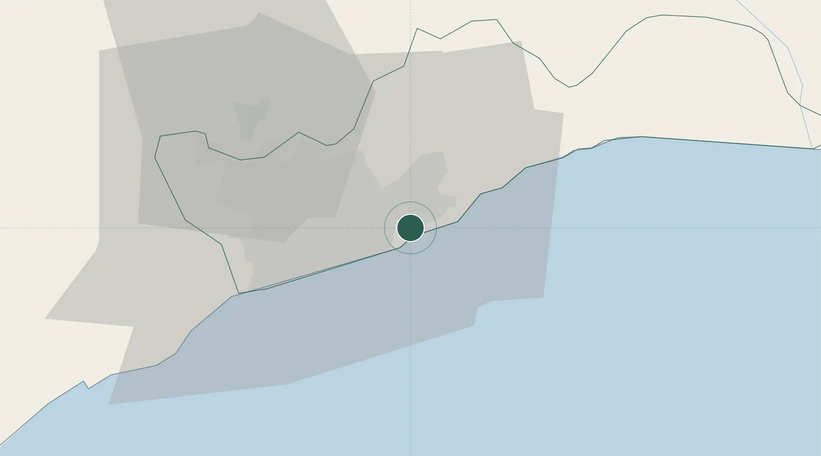
Nearby Logistics Neighbours

Cities
  1. 1Tema6 km
  2. 2Teshie7 km
  3. 3Tesano19 km
  4. 4Kokomlemle19 km
  5. 5Achimota20 km
Nearest neighbours — logibook spatial index (haversine) over the source coordinates
Ports
  1. 1Tema8 km
  2. 2Saltpond120 km
  3. 3Lome158 km
  4. 4Kpeme185 km
  5. 5Sekondi197 km
Nearest neighbours — logibook spatial index (haversine) over the source coordinates
Airports
  1. 1Kotoka International Airport13 km
  2. 2Ho Airport125 km
  3. 3Lomé–Tokoin International Airport157 km
  4. 4Takoradi Airport207 km
  5. 5Prempeh I International Airport210 km
Nearest neighbours — logibook spatial index (haversine) over the source coordinates
Trade Zones
  1. 1Tema Export Processing Zone10 km
  2. 2Cape Coast ICT Park22 km
  3. 3Dawa Industrial Zone48 km
  4. 4Lomé-Togo Free Zone153 km
  5. 5Adétikopé Industrial Platform161 km
Nearest neighbours — logibook spatial index (haversine) over the source coordinates
DatabookThe Record of Consolidated Knowledge
Ghana beyond logistics?
Browse databook

All Sources

LocationsUN/LOCODE
UN/LOCODE — free
Portsthe NGA World Port Index
Public domain (US gov)
AirportsOurAirports
Public domain
Trade Zonesthe World Bank SEZ database
CC BY 4.0
Trade ZonesOpen Zone Map
CC BY
← Ghana locations