Seaport · Ghana

TakoradiGHTKD

4.8833°, -1.7333°
9.4 m
Channel depth
1
Container terminals
46.6
Port liner connectivity
Takoradi is also a UN/LOCODE logistics hub →

Channel & Berth Profile

SEA LEVEL (CD)CHANNEL BEDChannel · 9.4 mAnchorage · 11.0 mCargo pier · 16.0 mOil terminal · 20.0 m
NGA World Port Index

Pilotage, Tugs & Services

Pilotage compulsoryYES
Pilotage availableYES
Tug assistanceYES
Shore powerYES
Potable waterYES
Diesel bunkersYES
MedicalYES
Garbage disposalYES
NGA World Port Index

Facilities & Capabilities

Container
Ro-Ro
Liquid bulk
Dry bulk
Oil terminal
Break bulk
Dry dockNO
RepairsNO
BunkeringYES
Rail linkYES
Dangerous cargo
ISPS security
NGA World Port Index

Harbour Specifications

Harbour size
Medium
NGA World Port Index
Harbour type
Coastal (Breakwater)
NGA World Port Index
Shelter
Good
NGA World Port Index
Water body
Gulf of Guinea; North Atlantic Ocean
NGA World Port Index
Tidal range
1 m
NGA World Port Index
Pilotage
Yes
NGA World Port Index

Liner Connectivity

46.6
PLSCI

Port Liner Shipping Connectivity Index for Takoradi, as published by UNCTAD for the latest available quarter. Higher values indicate stronger scheduled liner-shipping integration.

Shown relative to the highest per-port PLSCI in the dataset (1,657.9).
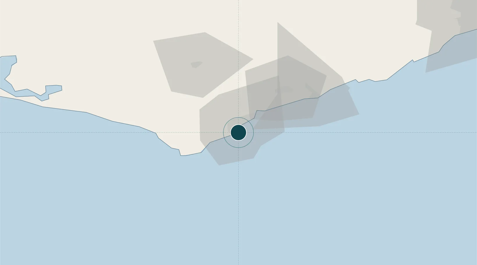
UNCTAD · Port Liner Shipping Connectivity Index

Location

Location of GHTKD
Natural Earth 10m (public domain) · Western · GHTKD · 4.88, -1.73GoogleOSMYandex

Container Terminals · 1

TAKORADI PORT
TKD1 GHANA PORTS AND HARBOURS AUTHORITY (TEMA PORT)
SMDG Terminal Code List

Nearby Logistics Neighbours

Ports
  1. 1Sekondi8 km
  2. 2Saltpond84 km
  3. 3Tema211 km
  4. 4Port Bouet250 km
  5. 5Abidjan256 km
Nearest neighbours — logibook spatial index (haversine) over the source coordinates
Cities
  1. 1Katamanso137 km
  2. 2Obuasi147 km
  3. 3Ahinsan163 km
  4. 4Assinie-Mafia174 km
  5. 5Ashaiman180 km
Nearest neighbours — logibook spatial index (haversine) over the source coordinates
Airports
  1. 1Takoradi Airport5 km
  2. 2Kotoka International Airport191 km
  3. 3Prempeh I International Airport204 km
  4. 4Félix-Houphouët-Boigny International Airport247 km
  5. 5Sunyani Airport283 km
Nearest neighbours — logibook spatial index (haversine) over the source coordinates
Trade Zones
  1. 1Sekondi Export Processing Zone2 km
  2. 2Shama Export Processing Zone10 km
  3. 3Ashanti Technology Park205 km
  4. 4Bonoua Industrial Park208 km
  5. 5Tema Export Processing Zone213 km
Nearest neighbours — logibook spatial index (haversine) over the source coordinates
DatabookThe Record of Consolidated Knowledge
Ghana beyond logistics?
Browse databook

All Sources

Portsthe NGA World Port Index
Public domain (US gov)
Logistics performanceUNCTAD
CC BY 3.0 IGO
Portsthe SMDG Terminal Code List
UN/LOCODE — free, attribution
AirportsOurAirports
Public domain
LocationsUN/LOCODE
UN/LOCODE — free
Trade Zonesthe World Bank SEZ database
CC BY 4.0
Trade ZonesOpen Zone Map
CC BY
← Ghana ports