Channel & Berth Profile
Pilotage, Tugs & Services
Potable waterYES
MedicalYES
Facilities & Capabilities
Container—
Ro-Ro—
Liquid bulk—
Dry bulk—
Oil terminal—
Break bulk—
Dry dock—
RepairsNO
Bunkering—
Rail linkYES
Dangerous cargo—
ISPS security—
Harbour Specifications
Harbour size
Very Small
Harbour type
Coastal (Breakwater)
Shelter
Fair
Water body
Gulf of Guinea; North Atlantic Ocean
Tidal range
1 m
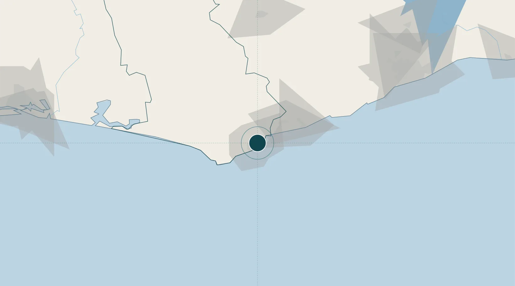
Location
Nearby Logistics Neighbours
Ports
- 1Takoradi8 km
- 2Saltpond77 km
- 3Tema205 km
- 4Port Bouet253 km
- 5Abidjan259 km
Airports
- 1Takoradi Airport10 km
- 2Kotoka International Airport185 km
- 3Prempeh I International Airport197 km
- 4Félix-Houphouët-Boigny International Airport249 km
- 5Sunyani Airport277 km
Trade Zones
DatabookThe Record of Consolidated Knowledge
Ghana beyond logistics?