Large airport · Ghana
Kotoka International AirportDGAA
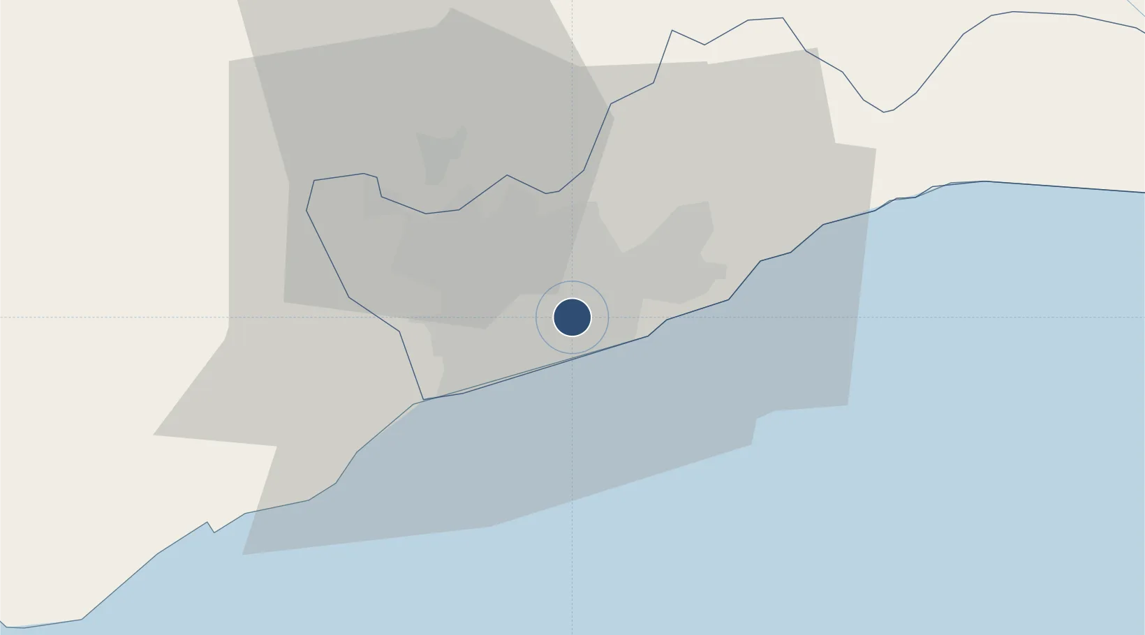
5.6052°, -0.1668°
11,165 ft
Longest runway
1
Runways
205 ft
Elevation
Runway & Layout

Radio Frequencies
TWR
119.1 MHz
ACCRA TWR
GND
121.9 MHz
ACCRA GND
APP
119.5 MHz
ACCRA APP
Navaids
AA NDB Accra 409 kHz
ACC VOR-DME Accra 113.10 MHz
Runways · 1
| Runway | Dimensions | Surface | True heading | Lit |
|---|---|---|---|---|
| 03/21 | 11,165 × 200ft | Asphalt | 022° | ✓ |
Airport Specifications
IATA code
ACC
ICAO code
DGAA
Airport class
Large airport
Scheduled service
Yes
Runway surface
Asphalt
Served city
Accra
Location
Nearby Logistics Neighbours
Airports
- 1Ho Airport133 km
- 2Lomé–Tokoin International Airport169 km
- 3Takoradi Airport195 km
- 4Prempeh I International Airport200 km
- 5Cotonou Cadjehoun International Airport294 km
Cities
- 1Tesano6 km
- 2Kokomlemle7 km
- 3Achimota8 km
- 4Teshie8 km
- 5Sakumono13 km
Trade Zones
- 1Tema Export Processing Zone22 km
- 2Cape Coast ICT Park33 km
- 3Dawa Industrial Zone59 km
- 4Lomé-Togo Free Zone165 km
- 5Adétikopé Industrial Platform173 km
DatabookThe Record of Consolidated Knowledge
Ghana beyond logistics?