Export Processing Zone · Togo

Adétikopé Industrial Platform Under Development
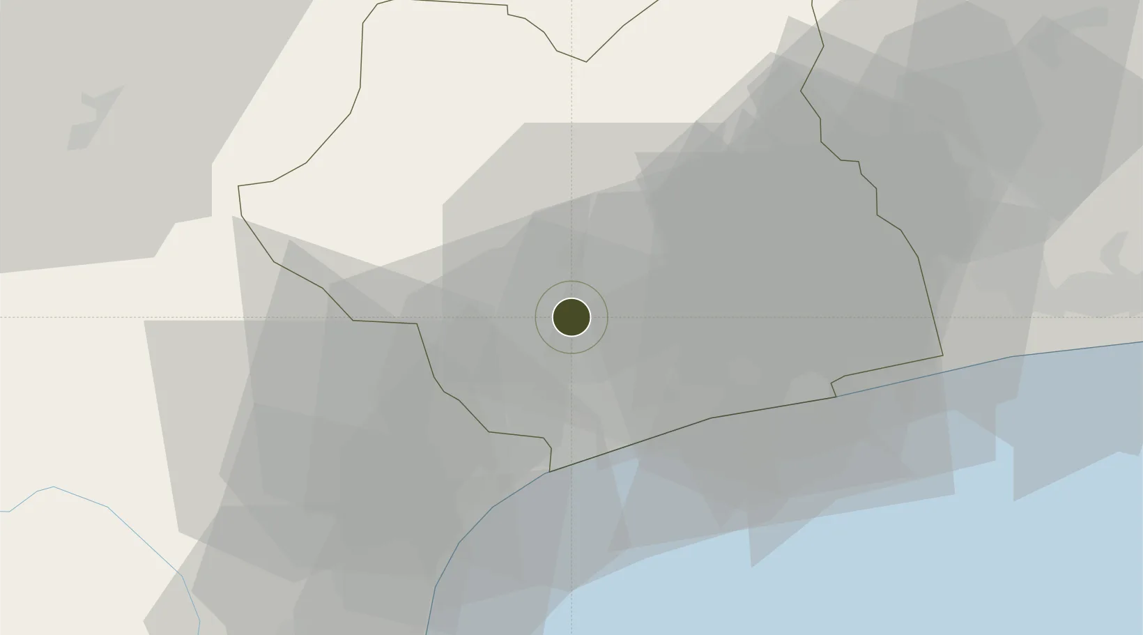
6.3349°, 1.2186°
400 ha
Zone area
23.5 km
Nearest port
19.2 km
Nearest airport

Gateway access

Nearest neighbours — logibook spatial index (haversine) over the source coordinates

Zone profile

Zone type
Export Processing Zone
Open Zone Map
Region
Maritime
Open Zone Map
Status
Under Development
Open Zone Map
Management
Public-Private Partnership
Open Zone Map
Operator
Arise IIP, Republic of Togo
Open Zone Map
Legal framework
Law No. 2019-005 of 17 June 2019
Open Zone Map

Location

Location of ozm-4512
Natural Earth 10m (public domain) · Maritime · ozm-4512 · 6.33, 1.22GoogleOSMYandex

Nearby Logistics Neighbours

Ports
  1. 1Lome24 km
  2. 2Kpeme36 km
  3. 3Cotonou134 km
  4. 4Tema154 km
  5. 5Tin Can Island236 km
Nearest neighbours — logibook spatial index (haversine) over the source coordinates
Airports
  1. 1Lomé–Tokoin International Airport19 km
  2. 2Ho Airport81 km
  3. 3Cotonou Cadjehoun International Airport129 km
  4. 4Kotoka International Airport173 km
  5. 5Murtala Muhammed International Airport234 km
Nearest neighbours — logibook spatial index (haversine) over the source coordinates
Cities
  1. 1Adéti-Kopé3 km
  2. 2Lome23 km
  3. 3Ablogamé23 km
  4. 4Aného44 km
  5. 5Cotonou124 km
Nearest neighbours — logibook spatial index (haversine) over the source coordinates
Trade Zones
  1. 1Lomé-Togo Free Zone16 km
  2. 2Allada Special Agro-Industrial Zone111 km
  3. 3Dawa Industrial Zone114 km
  4. 4Glo-Djigbé Special Economic Zone119 km
  5. 5Cape Coast ICT Park140 km
Nearest neighbours — logibook spatial index (haversine) over the source coordinates
DatabookThe Record of Consolidated Knowledge
Togo beyond logistics?
Browse databook

All Sources

Trade ZonesOpen Zone Map
CC BY
Portsthe NGA World Port Index
Public domain (US gov)
AirportsOurAirports
Public domain
LocationsUN/LOCODE
UN/LOCODE — free
← Togo trade zones