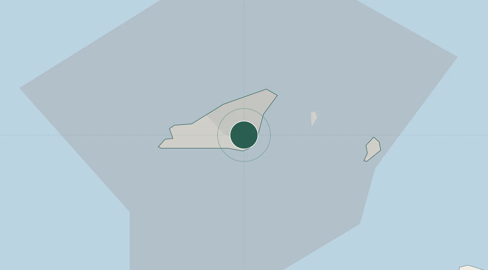
UN/LOCODE hub · Guernsey
GGSPT

Saint Peter Port

49.4500°, -2.5500°
16,488
Population
2
Transport functions

Transport Functions

Port
Road
Saint Peter Port is also a profiled seaport →
UN/LOCODE

Hub Profile

Place type
National capital
GeoNames
Region
St Peter Port
GeoNames
Population
16,488
GeoNames
Time zone
Europe/Guernsey
GeoNames
Elevation
10 m
GeoNames

Location

Location of GGSPT
Natural Earth 10m (public domain) · St Peter Port · GGSPT · 49.45, -2.55GoogleOSMYandex

Nearby Logistics Neighbours

Cities
  1. 1Saint Peter Port1 km
  2. 2Guernsey3 km
  3. 3Sark13 km
  4. 4Alderney36 km
  5. 5Saint Ouen36 km
Nearest neighbours — logibook spatial index (haversine) over the source coordinates
Ports
  1. 1Saint Sampson4 km
  2. 2Alderney Harbour40 km
  3. 3Saint Helier Harbour43 km
  4. 4Rade De Cherbourg70 km
  5. 5Paimpol83 km
Nearest neighbours — logibook spatial index (haversine) over the source coordinates
Airports
  1. 1Guernsey Airport4 km
  2. 2Jersey Airport37 km
  3. 3Alderney Airport37 km
  4. 4Cherbourg Manche airport81 km
  5. 5Granville Airport96 km
Nearest neighbours — logibook spatial index (haversine) over the source coordinates
Trade Zones
  1. 1ZFU Cherbourg-Octeville67 km
  2. 2Dorset Innovation Park139 km
  3. 3Heart of the South West Enterprise Zone153 km
  4. 4Oceansgate Plymouth155 km
  5. 5Exeter & East Devon Enterprise Zone157 km
Nearest neighbours — logibook spatial index (haversine) over the source coordinates
DatabookThe Record of Consolidated Knowledge
Guernsey beyond logistics?
Browse databook

All Sources

LocationsUN/LOCODE
UN/LOCODE — free
LocationsGeoNames
CC BY 4.0
Portsthe NGA World Port Index
Public domain (US gov)
AirportsOurAirports
Public domain
Trade Zonesthe World Bank SEZ database
CC BY 4.0
Trade ZonesOpen Zone Map
CC BY
← Guernsey locations