Transport Functions
Port
Airport
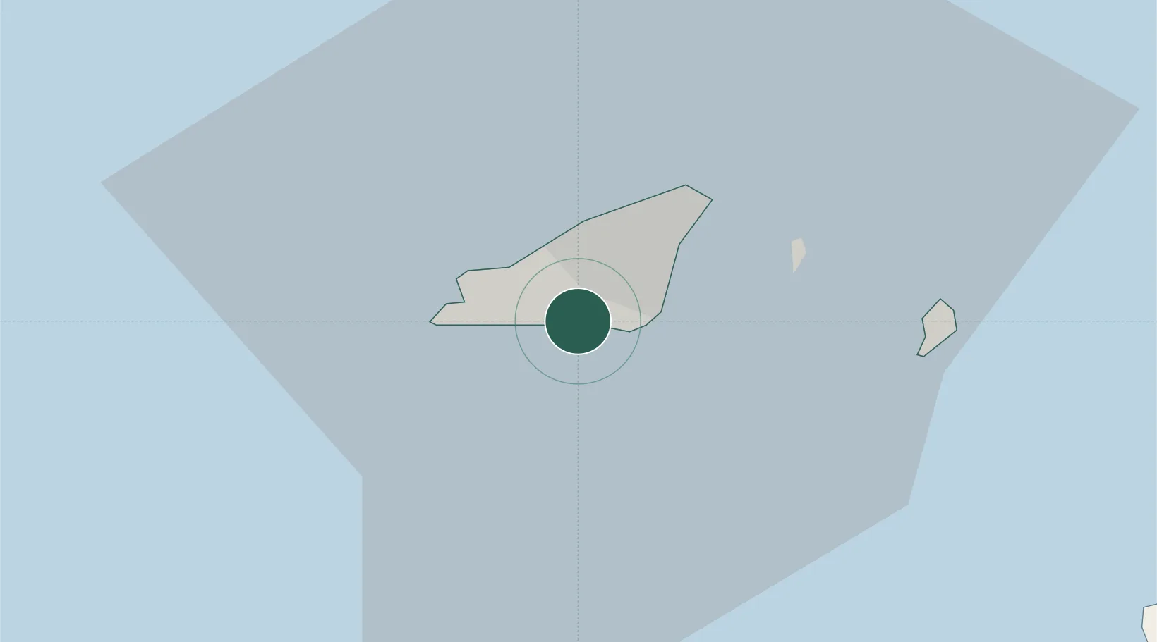
Location
Nearby Logistics Neighbours
Cities
- 1Saint Peter Port3 km
- 2Saint Peter Port4 km
- 3Sark16 km
- 4Saint Ouen37 km
- 5Saint Brelade38 km
Ports
- 1Saint Peter Port4 km
- 2Saint Sampson7 km
- 3Alderney Harbour43 km
- 4Saint Helier Harbour44 km
- 5Rade De Cherbourg73 km
Airports
- 1Guernsey Airport1 km
- 2Jersey Airport38 km
- 3Alderney Airport40 km
- 4Cherbourg Manche airport84 km
- 5Granville Airport96 km
Trade Zones
DatabookThe Record of Consolidated Knowledge
Guernsey beyond logistics?